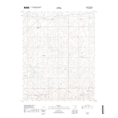
2018 Map of Herd
USGS Topo · Published 2018About this map
Herd and Bigheart stand as the primary community markers in this rural expanse of Osage County. The landscape is defined by a dense network of creek drainages, including Mission Cr in the north and the winding path of Birch Cr that cuts across the central townships. The terrain rises to the distinct Twin Mounds in the west, while water features like Deer Lake and the pronounced Horseshoe Bend along Buck Cr provide geographic focus. Local history is anchored by the Moore Cem near the northern boundary. The intricate grid of county roads, such as Bartlesville Rd and Co Rd 3775, reflects a modern infrastructure superimposed on traditional ranching and oil country, where the land is still strictly partitioned by township and range lines.
Find a feature on this map
38 named features on this map. Tap any name to fly to it.
Don’t see what you’re looking for? This feature index may not catch every label — zoom into the map to look around manually.
Map Details
Editions of this 2018 Herd Map
This is the sole edition of this map. No revisions or reprints were ever made.
Other maps of this area
1906 · Nelagoney
USGS Topo · 1:24,000
1909 · Pawhuska
USGS Topo · 1:125,000
1910 · Pawhuska
USGS Topo · 1:125,000

1955 · Enid
USGS Topo · 1:250,000

1958 · Enid
USGS Topo · 1:250,000
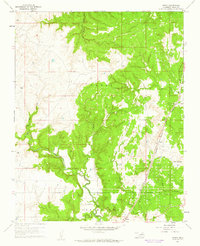
1960 · Nanos
USGS Topo · 1:24,000
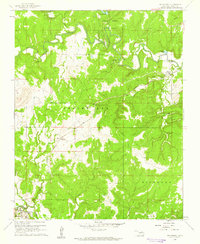
1960 · Nelagoney
USGS Topo · 1:24,000
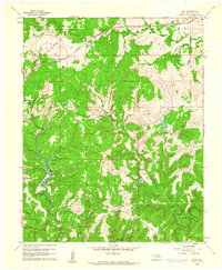
1960 · Herd
USGS Topo · 1:24,000

1960 · Pawhuska
USGS Topo · 1:24,000
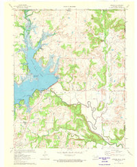
1971 · Bowring
USGS Topo · 1:24,000