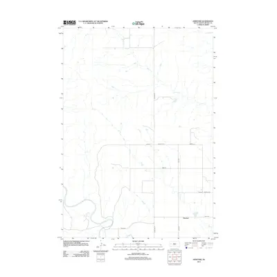
2012 Map of Hereford
USGS Topo · Published 2012About this map
The Belle Fourche River winds through the southern reaches of this Meade County landscape, defining the local topography near the small settlement of Hereford. This western South Dakota terrain is characterized by a network of drainage systems, most notably Dry Elm Cr and Elm Cr, which cut across the prairie toward the larger river basin. The map reveals a structured grid of rural infrastructure, where Alkali Rd and 158th Ave provide essential access to the surrounding ranching and agricultural lands. Modern road designations like Co Hwy MC-19 and Co Hwy MC-19A trace the evolution of travel in the region, connecting the quiet community of Hereford to the broader county network. This 2012 survey captures the persistent rural character of the area, showing how the natural paths of Dry Cr still influence the placement of local thoroughfares and property boundaries.
Find a feature on this map
13 named features on this map. Tap any name to fly to it.
Don’t see what you’re looking for? This feature index may not catch every label — zoom into the map to look around manually.
Map Details
Editions of this 2012 Hereford Map
This is the sole edition of this map. No revisions or reprints were ever made.
Other maps of this area

1893 · Rapid
USGS Topo · 1:125,000

1898 · Rapid
USGS Topo · 1:125,000

1903 · Rapid
USGS Topo · 1:125,000

1913 · Newell
USGS Topo · 1:125,000

1951 · Volunteer SE
USGS Topo · 1:24,000

1953 · Hereford SE
USGS Topo · 1:24,000

1953 · Hereford
USGS Topo · 1:24,000

1953 · Hereford SW
USGS Topo · 1:24,000

1953 · Rapid City 1 NE
USGS Topo · 1:24,000

1953 · Rapid City 1 SE
USGS Topo · 1:24,000