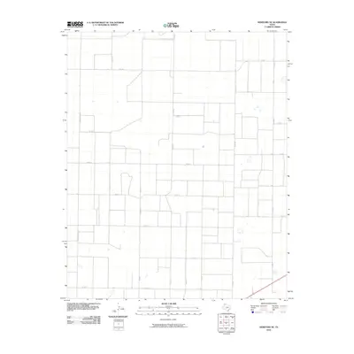
2010 Map of Hereford NE
USGS Topo · Published 2010About this map
Agricultural grid lines define this high plains landscape in Deaf Smith County during the early 21st century. The map depicts a highly organized network of farm-to-market and county roads, reflecting the region's intensive ranching and farming operations. Major local arteries such as Fm 2943 and Fm 1062 serve as the primary conduits through the rectangular parcels of the Texas Panhandle. Secondary routes, including N Progressive Rd and Co Rd Ee, trace the edges of large-scale land divisions. The terrain is characterized by its remarkable flatness, punctuated only by scattered depressions and the strictly engineered path of the road network, illustrating how human settlement has adapted to the open geography of the Llano Estacado.
Find a feature on this map
16 named features on this map. Tap any name to fly to it.
Don’t see what you’re looking for? This feature index may not catch every label — zoom into the map to look around manually.
Map Details
Editions of this 2010 Hereford NE Map
This is the sole edition of this map. No revisions or reprints were ever made.
Other maps of this area

1954 · Tucumcari
USGS Topo · 1:250,000

1954 · Clovis
USGS Topo · 1:250,000

1958 · Clovis
USGS Topo · 1:250,000

1958 · Tucumcari
USGS Topo · 1:250,000

1961 · Buffalo Lake
USGS Topo · 1:62,500

1962 · Wildorado
USGS Topo · 1:62,500

1965 · Allison Ranch
USGS Topo · 1:24,000

1966 · Ford
USGS Topo · 1:24,000

1970 · Hereford
USGS Topo · 1:24,000

1971 · Hereford NE
USGS Topo · 1:24,000