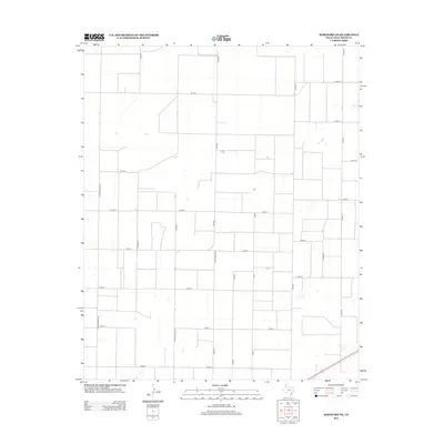
2012 Map of Hereford NE
USGS Topo · Published 2012About this map
Large-scale agriculture and a precise grid of rural arteries characterize this portion of Deaf Smith County, Texas, just north of the county seat. The landscape is dominated by an expansive network of farm-to-market and county roads that facilitate the movement of goods and equipment across the High Plains. Essential transit corridors like Fm-1062 and Ranch Road 2943 bisect the open acreage, while a secondary grid including Co Rd FF and Co Rd EE provides access to individual farmstead plots. The prevalence of playa lakes and drainage depressions scattered throughout the plains provides a glimpse into the natural hydrology of this semi-arid region, where every elevation change, however slight, dictates the placement of roads and structures. Local access is anchored by north-south routes like S Progressive Rd, which connect the hinterlands to the developing outskirts of the nearby city center.
Find a feature on this map
18 named features on this map. Tap any name to fly to it.
Don’t see what you’re looking for? This feature index may not catch every label — zoom into the map to look around manually.
Map Details
Editions of this 2012 Hereford NE Map
This is the sole edition of this map. No revisions or reprints were ever made.
Other maps of this area

1954 · Tucumcari
USGS Topo · 1:250,000

1954 · Clovis
USGS Topo · 1:250,000

1958 · Clovis
USGS Topo · 1:250,000

1958 · Tucumcari
USGS Topo · 1:250,000

1961 · Buffalo Lake
USGS Topo · 1:62,500

1962 · Wildorado
USGS Topo · 1:62,500

1965 · Allison Ranch
USGS Topo · 1:24,000

1966 · Ford
USGS Topo · 1:24,000

1970 · Hereford
USGS Topo · 1:24,000

1971 · Hereford NE
USGS Topo · 1:24,000