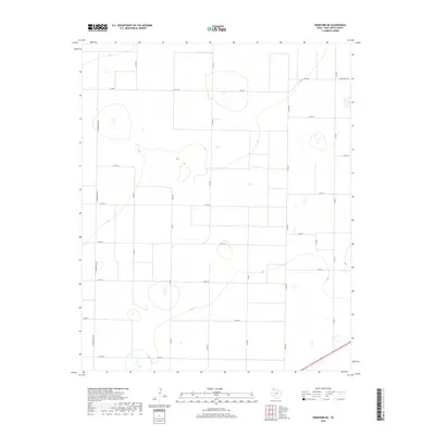
2019 Map of Hereford NE
USGS Topo · Published 2019About this map
Deaf Smith County's High Plains terrain is defined by a rigorous grid of section lines and rural thoroughfares in this recent survey. The landscape is primarily shaped by an agricultural road network, where Fm 1062 and Fm 2943 serve as the primary conduits for movement across the open Panhandle geography. Smaller arteries like Ranch Rd 1062 and N Progressive Rd reveal the geometric parceling of the land, typical of this region's modern ranching and farming operations. This map reflects the contemporary state of the rural infrastructure northeast of Hereford, capturing the specific alignment of county roads such as Co Rd FF and Co Rd EE as they navigate the subtle elevations of the Llano Estacado. The absence of dense town clusters emphasizes the vast, decentralized nature of the local economy and the enduring reliance on this established road system.
Find a feature on this map
20 named features on this map. Tap any name to fly to it.
Don’t see what you’re looking for? This feature index may not catch every label — zoom into the map to look around manually.
Map Details
Editions of this 2019 Hereford NE Map
This is the sole edition of this map. No revisions or reprints were ever made.
Other maps of this area

1954 · Tucumcari
USGS Topo · 1:250,000

1954 · Clovis
USGS Topo · 1:250,000

1958 · Clovis
USGS Topo · 1:250,000

1958 · Tucumcari
USGS Topo · 1:250,000

1961 · Buffalo Lake
USGS Topo · 1:62,500

1962 · Wildorado
USGS Topo · 1:62,500

1965 · Allison Ranch
USGS Topo · 1:24,000

1966 · Ford
USGS Topo · 1:24,000

1970 · Hereford
USGS Topo · 1:24,000

1971 · Hereford NE
USGS Topo · 1:24,000