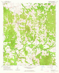
1963 Map of Hermanville
USGS Topo · Published 1964About this map
Hermanville and the southern settlement of Barland serve as the primary hubs in this mid-century portrait of Claiborne County. The landscape is defined by the winding course of Little Bayou Pierre, which is fed by numerous tributaries including Clarks and Jameson branches. This area shows a deep-rooted social fabric through its numerous rural institutions, such as Hermanville Sch, Holly Grove Ch, and Mt Vernon Ch.
Find a feature on this map
34 named features on this map. Tap any name to fly to it.
Don’t see what you’re looking for? This feature index may not catch every label — zoom into the map to look around manually.
Map Details
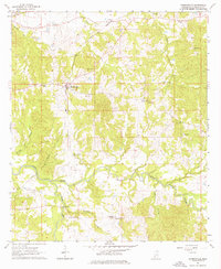
Editions of this 1963 Hermanville Map
2 editions found
Other maps of this area

1939 · Yokena
USGS Topo · 1:62,500

1953 · Natchez
USGS Topo · 1:250,000

1955 · Jackson
USGS Topo · 1:250,000

1956 · Natchez
USGS Topo · 1:250,000

1959 · Natchez
USGS Topo · 1:250,000

1961 · Jackson
USGS Topo · 1:250,000

1962 · Jackson
USGS Topo · 1:250,000

1962 · Utica West
USGS Topo · 1:24,000

1963 · Carlisle
USGS Topo · 1:24,000

1963 · Port Gibson
USGS Topo · 1:24,000