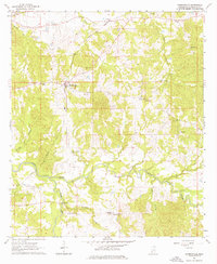
1963 Map of Hermanville
USGS Topo · Published 1976About this map
Hermanville and its surrounding Claiborne County landscape are defined by the winding course of Little Bayou Pierre and the tracks of the Illinois Central railroad. This 1963 field check documents a rural network of small communities like St Elmo, Carlisle, and Barland, connected by a mix of improved roads and the Natchez Trace Parkway crossing the northwestern corner. The map is a significant resource for local history, meticulously recording numerous family and community landmarks such as Old Mt Tro Grove Cem, Freedman Hall Ch, and the Hermanville Sch. This survey preserves the exact locations of many country churches and cemeteries, including Holly Grove Ch and Patona Cem, reflecting the social and spiritual fabric of this Mississippi region before significant late-century modernization changed the rural layout.
Find a feature on this map
31 named features on this map. Tap any name to fly to it.
Don’t see what you’re looking for? This feature index may not catch every label — zoom into the map to look around manually.
Map Details
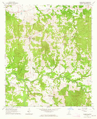
Editions of this 1963 Hermanville Map
2 editions found
Other maps of this area

1939 · Yokena
USGS Topo · 1:62,500

1953 · Natchez
USGS Topo · 1:250,000

1955 · Jackson
USGS Topo · 1:250,000

1956 · Natchez
USGS Topo · 1:250,000

1959 · Natchez
USGS Topo · 1:250,000

1961 · Jackson
USGS Topo · 1:250,000

1962 · Jackson
USGS Topo · 1:250,000

1962 · Utica West
USGS Topo · 1:24,000

1963 · Carlisle
USGS Topo · 1:24,000

1963 · Port Gibson
USGS Topo · 1:24,000