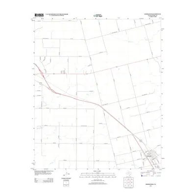
2012 Map of Hermleigh
USGS Topo · Published 2012About this map
Hermleigh serves as the primary hub of this Scurry County landscape, where a grid of rural routes and state highways converges in West Texas. The settlement’s street plan is clearly defined, with residential and commercial corridors such as Rogers St and Bond St providing a glimpse into the local community's layout. The surrounding terrain is primarily characterized by its drainage network and expansive agricultural or ranching plots, intersected by major transit lines and smaller local thoroughfares like Camp Springs Rd.
Find a feature on this map
68 named features on this map. Tap any name to fly to it.
Don’t see what you’re looking for? This feature index may not catch every label — zoom into the map to look around manually.
Map Details
Editions of this 2012 Hermleigh Map
This is the sole edition of this map. No revisions or reprints were ever made.
Other maps of this area

1932 · Camp Springs
USGS Topo · 1:62,500

1951 · Dunn
USGS Topo · 1:24,000

1952 · Snyder
USGS Topo · 1:24,000

1952 · China Grove
USGS Topo · 1:24,000

1952 · Hermleigh
USGS Topo · 1:24,000

1954 · Lloyd Mountain
USGS Topo · 1:24,000

1954 · Brand
USGS Topo · 1:24,000

1954 · Big Spring
USGS Topo · 1:250,000

1958 · Big Spring
USGS Topo · 1:250,000

1969 · Camp Springs
USGS Topo · 1:24,000