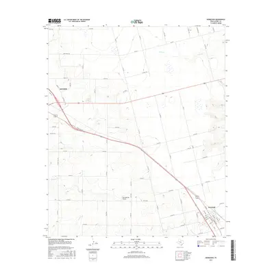
2016 Map of Hermleigh
USGS Topo · Published 2016About this map
Snyder and Hermleigh anchor this West Texas landscape, connected by the diagonal corridor of N Bus Highway 84. The terrain is defined by the stark drainage systems of the Rolling Plains, most notably the deeply carved Hell Roaring Hollow and the seasonal paths of Camp Cr and Sulphur Cr. Outside the town centers, the map reveals a network of rural routes such as Camp Springs Rd and Ryon Ranch Rd, reflecting the ranching and energy-based land use patterns of Scurry County. The transition from the residential streets of Rolling Hill to the open draws like Dry Run illustrates the intersection of mid-20th-century expansion and the persistent, unforgiving geography of the region. This topographic record highlights how local infrastructure adapts to the natural contours of the Llano Estacado's eastern edge.
Find a feature on this map
65 named features on this map. Tap any name to fly to it.
Don’t see what you’re looking for? This feature index may not catch every label — zoom into the map to look around manually.
Map Details
Editions of this 2016 Hermleigh Map
This is the sole edition of this map. No revisions or reprints were ever made.
Other maps of this area

1932 · Camp Springs
USGS Topo · 1:62,500

1951 · Dunn
USGS Topo · 1:24,000

1952 · Snyder
USGS Topo · 1:24,000

1952 · China Grove
USGS Topo · 1:24,000

1952 · Hermleigh
USGS Topo · 1:24,000

1954 · Lloyd Mountain
USGS Topo · 1:24,000

1954 · Brand
USGS Topo · 1:24,000

1954 · Big Spring
USGS Topo · 1:250,000

1958 · Big Spring
USGS Topo · 1:250,000

1969 · Camp Springs
USGS Topo · 1:24,000