Loading...
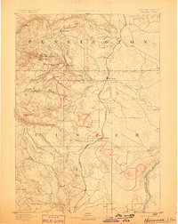
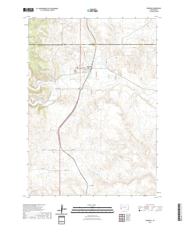
Loading map...1894 Map of Hermosa
USGS Topo · Published 1898About this map
Mining and early Black Hills settlements dominate this late-nineteenth-century survey of the rugged territory spanning the border between Pennington and Custer counties. The map documents a critical era of extraction, centering on the Etta Mine near Keystone, and smaller outposts like Rockerville, Hayward, and Sheridan. These camps were the lifeblood of the local economy before the advent of modern tourism, established along the steep drainages of Battle Creek and Spring Creek.
Find a feature on this map
28 named features on this map. Tap any name to fly to it.
Don’t see what you’re looking for? This feature index may not catch every label — zoom into the map to look around manually.
Map Details
Date Portrayed1894
Date Published1898
PublisherU.S. Geological Survey
Map TypeTopographic
Scale1:125,000
Physical Dimensions15.7 x 19.7 inches
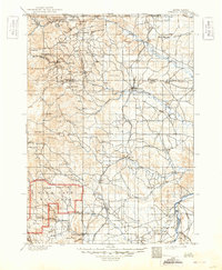
Editions of this 1894 Hermosa Map
2 editions found

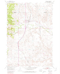
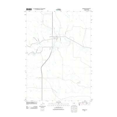
Historical Maps of Rapid City Through Time
7 maps found
Featured Locations
Source Details
SourceU.S. Geological Survey
CopyrightPublic Domain