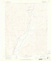
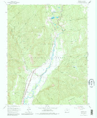
1963 Map of Hermosa
USGS Topo · Published 1970About this map
The Denver and Rio Grande Western railroad corridor anchors this valley landscape, following the course of the Animas River as it cuts through the San Juan National Forest. Small settlements such as Rockwood, Hermosa, and Trimble line the rail route, serving as historic points of activity in the mid-20th century. The presence of the Hermosa Cem and several water management features, including the Consolidated Ditch and Reid Ditch, reflect a community reliant on both the river and the surrounding mountain slopes for its livelihood.
Find a feature on this map
44 named features on this map. Tap any name to fly to it.
Don’t see what you’re looking for? This feature index may not catch every label — zoom into the map to look around manually.
Map Details
Editions of this 1963 Hermosa Map
5 editions found
Other maps of this area

1898 · Durango
USGS Topo · 1:62,500

1898 · Engineer Mountain
USGS Topo · 1:62,500

1900 · Engineer Mountain
USGS Topo · 1:62,500

1900 · Needle Mountains
USGS Topo · 1:62,500

1902 · Needle Mountains
USGS Topo · 1:62,500

1907 · Durango
USGS Topo · 1:62,500

1908 · Engineer Mountain
USGS Topo · 1:62,500

1908 · Ignacio
USGS Topo · 1:125,000

1908 · Durango
USGS Topo · 1:62,500

1924 · Ignacio
USGS Topo · 1:125,000