
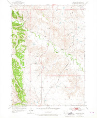
1953 Map of Hermosa NW
USGS Topo · Published 1955About this map
The Chicago and North Western railroad cuts a diagonal path through this South Dakota landscape, providing a vital transport link for the remote settlement of Ajax. Located in Pennington County, the area is defined by sharp topographic shifts where high points like Brennan Hill and Potato Butte overlook a series of deep draws and canyons. The presence of the Neely Sch near Spring Creek suggests a once-active rural community hub centered around water and rail access.
Find a feature on this map
20 named features on this map. Tap any name to fly to it.
Don’t see what you’re looking for? This feature index may not catch every label — zoom into the map to look around manually.
Map Details
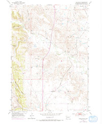
Editions of this 1953 Hermosa NW Map
3 editions found
Other maps of this area

1893 · Rapid
USGS Topo · 1:125,000

1894 · Hermosa
USGS Topo · 1:125,000

1898 · Rapid
USGS Topo · 1:125,000

1901 · Hermosa
USGS Topo · 1:125,000

1903 · Rapid
USGS Topo · 1:125,000

1953 · Boxelder
USGS Topo · 1:24,000

1953 · Rapid City East
USGS Topo · 1:24,000

1953 · Hermosa
USGS Topo · 1:24,000

1953 · Rapid City West
USGS Topo · 1:24,000

1953 · Hermosa SE
USGS Topo · 1:24,000