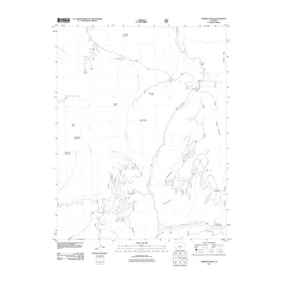
2011 Map of Hermosa Peak
USGS Topo · Published 2011About this map
The high-altitude landscape of La Plata County, Colorado, is defined by the extraction history at the headwaters of the Dolores River. Mining activity is visible through sites like the Bushwhacker Mine and Graysill Mine near Bolam Pass, while the Spanish King Number 1 Mine and Doctor Bell Group Mine reflect the era's prospecting across the steep terrain. These sites were often accessed via primitive routes like Hermosa Pk Rd, which connects the rugged basins to lower elevations.
Find a feature on this map
37 named features on this map. Tap any name to fly to it.
Don’t see what you’re looking for? This feature index may not catch every label — zoom into the map to look around manually.
Map Details
Editions of this 2011 Hermosa Peak Map
This is the sole edition of this map. No revisions or reprints were ever made.
Other maps of this area

1897 · Rico
USGS Topo · 1:62,500

1897 · Telluride
USGS Topo · 1:62,500

1898 · Engineer Mountain
USGS Topo · 1:62,500

1898 · Rico
USGS Topo · 1:62,500

1899 · Rico
USGS Topo · 1:62,500

1900 · Engineer Mountain
USGS Topo · 1:62,500

1904 · Telluride
USGS Topo · 1:62,500

1908 · Engineer Mountain
USGS Topo · 1:62,500

1945 · Durango
USGS Topo · 1:250,000

1953 · Mount Wilson
USGS Topo · 1:24,000