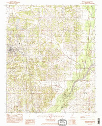
1982 Map of Hernando
USGS Topo · Published 1982About this map
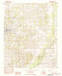
Hernando serves as the focal point of this Mississippi landscape, showing a structured grid of streets and development during the late 1970s and early 1980s. The town's proximity to major transit corridors is evident, with the surrounding countryside defined by a network of drainage systems feeding south toward the northern reaches of Arkabutla Lake. Small clusters of activity are visible at Love and Bright, providing a look at the rural settlement patterns before further suburban expansion reached this part of DeSoto County. Numerous family-named and descriptive waterways, such as Short Fork Creek and Bean Patch Creek, crisscross the terrain, reflecting the agricultural and natural drainage history of the region. The map also delineates the boundary between De Soto Co and Tate Co, marking the transition between these two northern Mississippi jurisdictions.
Find a feature on this map
11 named features on this map. Tap any name to fly to it.
Don’t see what you’re looking for? This feature index may not catch every label — zoom into the map to look around manually.
Map Details
Editions of this 1982 Hernando Map
2 editions found
Other maps of this area

1932 · Horn Lake
USGS Topo · 1:48,000

1932 · Crenshaw
USGS Topo · 1:62,500

1935 · Crenshaw
USGS Topo · 1:62,500

1935 · Horn Lake
USGS Topo · 1:62,500

1944 · Senatobia
USGS Topo · 1:62,500

1944 · Hernando
USGS Topo · 1:62,500

1948 · Helena
USGS Topo · 1:250,000

1950 · Helena
USGS Topo · 1:250,000

1955 · Helena
USGS Topo · 1:250,000

1956 · Tupelo
USGS Topo · 1:250,000