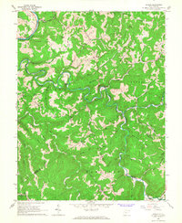
1965 Map of Herold
USGS Topo · Published 1967About this map
Herold and the winding Birch River dominate this central West Virginia landscape during the mid-1960s. The region is defined by prominent high ground including Middle Ridge, Otter Ridge, and Keener Ridge, which separate the many small runs and forks that feed the river system. In the northern section, the Baltimore and Ohio railroad follows the path of the Elk River, connecting the settlement at Rockton to the broader rail network of the era.
Find a feature on this map
49 named features on this map. Tap any name to fly to it.
Don’t see what you’re looking for? This feature index may not catch every label — zoom into the map to look around manually.
Map Details
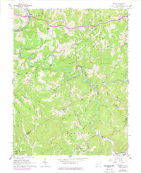
Editions of this 1965 Herold Map
2 editions found
Other maps of this area

1889 · Nicholas
USGS Topo · 1:125,000

1891 · Nicholas
USGS Topo · 1:125,000

1893 · Sutton
USGS Topo · 1:125,000

1901 · Nicholas
USGS Topo · 1:125,000

1908 · Gassaway
USGS Topo · 1:48,000

1908 · Sutton
USGS Topo · 1:48,000

1910 · Sutton Special
USGS Topo · 1:62,500

1910 · Gassaway
USGS Topo · 1:62,500

1913 · Summersville
USGS Topo · 1:48,000

1915 · Cowen
USGS Topo · 1:48,000