
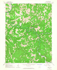
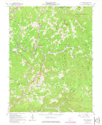
1965 Map of Herold
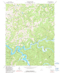
USGS Topo · Published 1977About this map
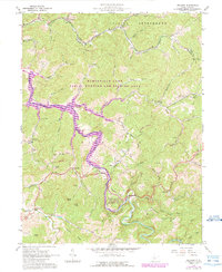
The Birch River snakes through a landscape of sharp ridges and deep hollows where the borders of Braxton, Nicholas, and Clay Counties converge. This mid-century topography reveals a dispersed mountain settlement pattern, with small communities like Herold and Wade connected by winding roads and numerous river fords. The Baltimore and Ohio railroad corridor follows the northern bend of the Birch River near Rockton, indicating the vital role of rail transport in these hills before modern highway expansion. Natural resource extraction is present through several labeled Gas Wells and a Mine located near the Little Birch River.
Find a feature on this map
55 named features on this map. Tap any name to fly to it.
Don’t see what you’re looking for? This feature index may not catch every label — zoom into the map to look around manually.
Map Details
Editions of this 1965 Herold Map
2 editions found
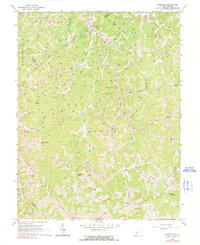
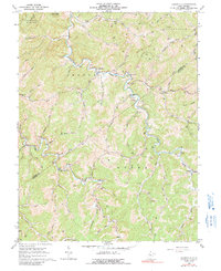
Historical Maps of Morris Through Time
12 maps found
1965 Herold
Braxton County, WV
1965 Orlando
Braxton County, WV
1965 Rosedale
Braxton County, WV
1966 Cedarville
Braxton County, WV
1967 Little Birch
Braxton County, WV
1967 Newville
Braxton County, WV
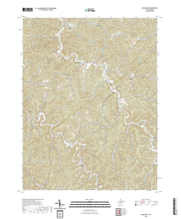
2023 Cedarville
Braxton County, WV
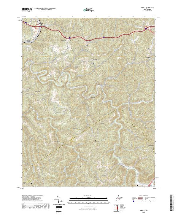
2023 Herold
Braxton County, WV
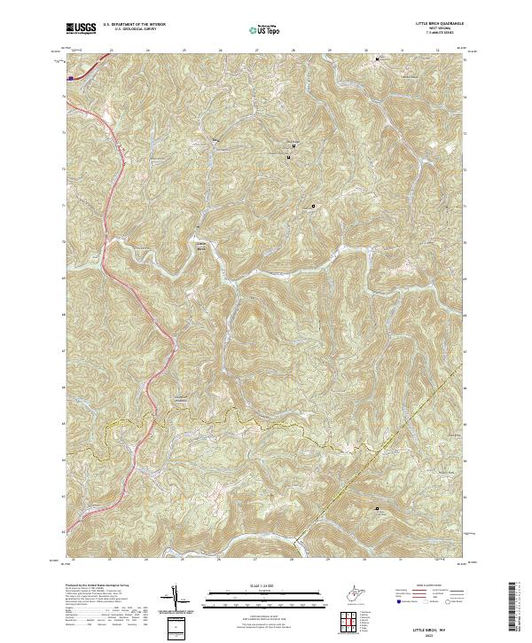
2023 Little Birch
Braxton County, WV
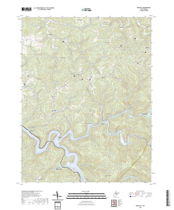
2023 Newville
Braxton County, WV
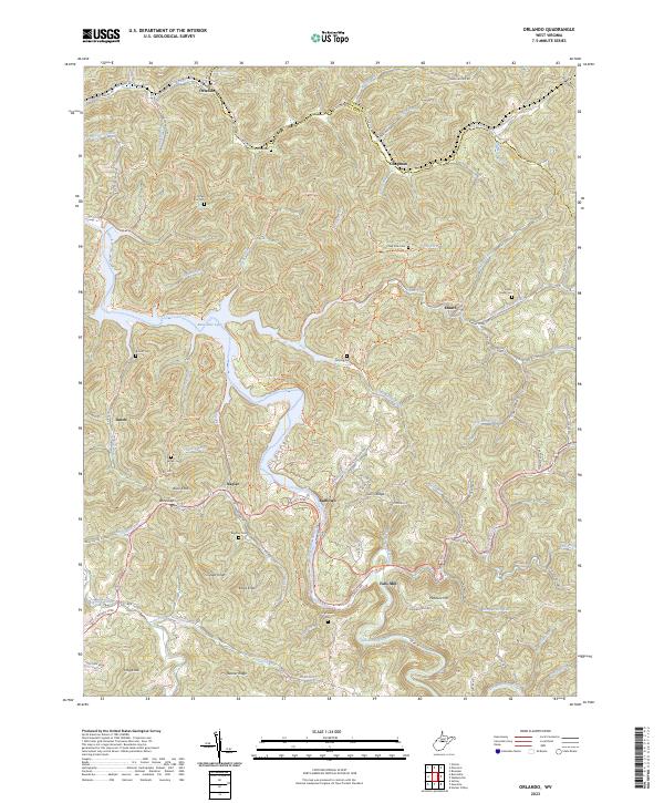
2023 Orlando
Braxton County, WV
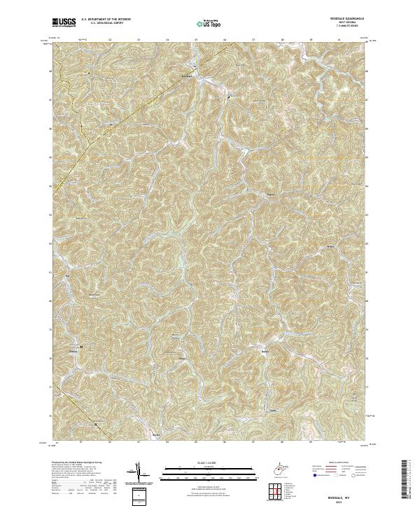
2023 Rosedale
Braxton County, WV