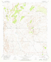
1954 Map of Herrera
USGS Topo · Published 1978About this map
Laguna Indian Reservation and Navajo Indian Reservation lands dominate this mid-century landscape, marked by a complex system of grant boundaries and seasonal drainages. The small settlement of Herrera sits near the Capilla de San Ignacio and a local Cem, serving as a focal point for the surrounding high-desert terrain. The map captures the infrastructure of the early 1950s, featuring several U S Weather Bureau Rain Gauges scattered across the mesa and an old CCC Camp (Aband) near the Reservation Boundary and Grant Boundary.
Find a feature on this map
24 named features on this map. Tap any name to fly to it.
Don’t see what you’re looking for? This feature index may not catch every label — zoom into the map to look around manually.
Map Details
Editions of this 1954 Herrera Map
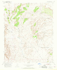
Other maps of this area

1883 · Mt. Taylor
USGS Topo · 1:250,000

1886 · Mt. Taylor
USGS Topo · 1:250,000

1888 · Bernalillo
USGS Topo · 1:125,000

1889 · Albuquerque
USGS Topo · 1:125,000

1892 · Mt. Taylor
USGS Topo · 1:250,000

1893 · Albuquerque
USGS Topo · 1:125,000

1899 · Mt. Taylor
USGS Topo · 1:250,000

1954 · Herrera
USGS Topo · 1:24,000

1954 · Sky Village
USGS Topo · 1:24,000

1954 · Canoncito School
USGS Topo · 1:24,000