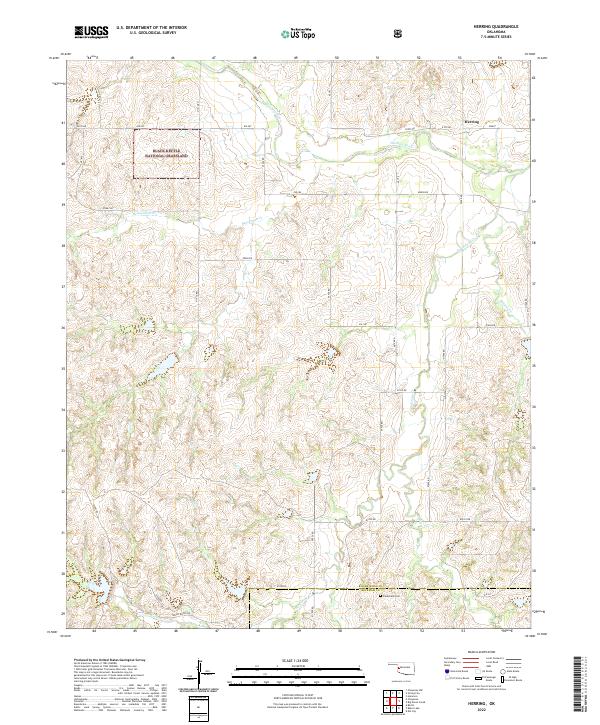
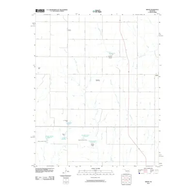
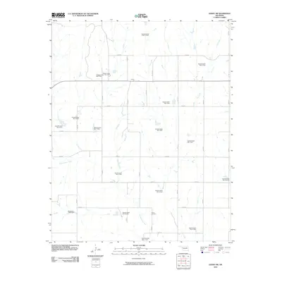
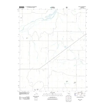
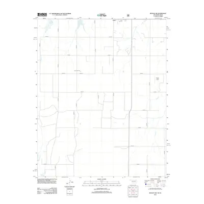
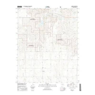
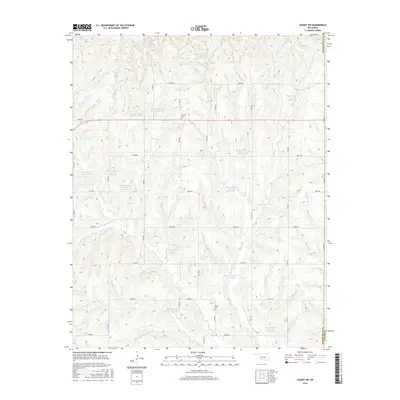
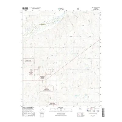
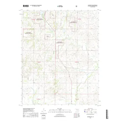
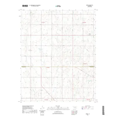
2022 Map of Herring
USGS Topo · Published 2022About this map
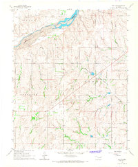
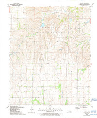
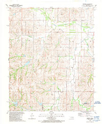
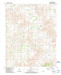
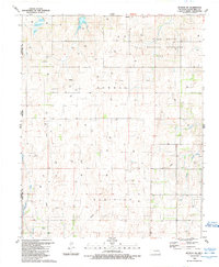
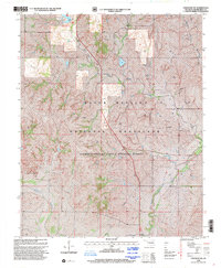
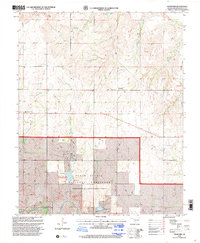
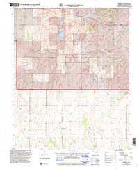
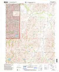
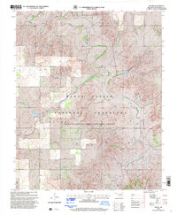
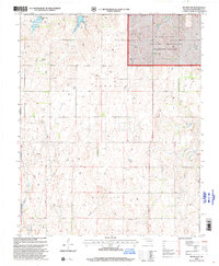
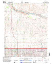
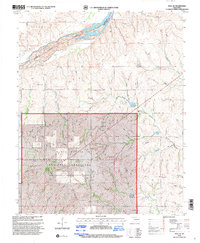
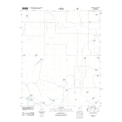
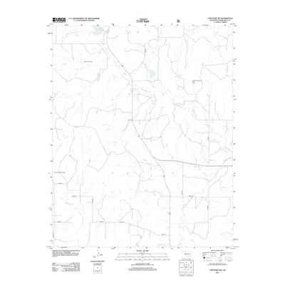
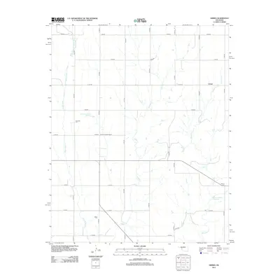
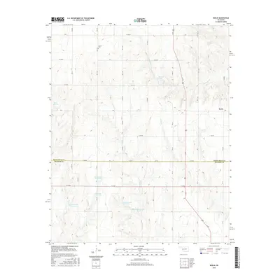
Washita River meanders across the northern sections of this Western Oklahoma landscape, defining a terrain of draws and creek beds on the border of Roger Mills and Beckham counties. Much of the northern land is preserved within the Black Kettle National Grassland, a testament to the region's recovery from the Dust Bowl era through federal land management. The small community of Herring sits near the northeastern corner, while the Sandstone Cem provides a focal point for genealogical research in the southern portion of the quadrangle. The drainage network is dense, featuring Beaverdam Cr, Sandstone Cr, and Currant Cr, which flow through a section-line grid of rural roads like Taylor Ranch Rd. This map reveals the transition between public conservation lands and private ranching interests in a sparsely populated region of the Great Plains.
Find a feature on this map
29 named features on this map. Tap any name to fly to it.
Don’t see what you’re looking for? This feature index may not catch every label — zoom into the map to look around manually.
Map Details
Editions of this 2022 Herring Map
This is the sole edition of this map. No revisions or reprints were ever made.
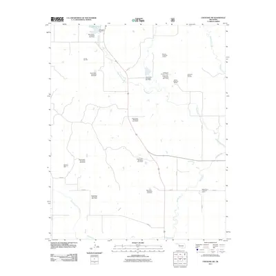
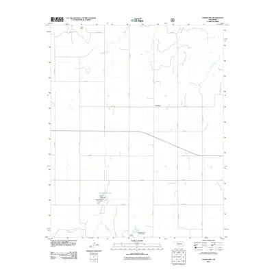
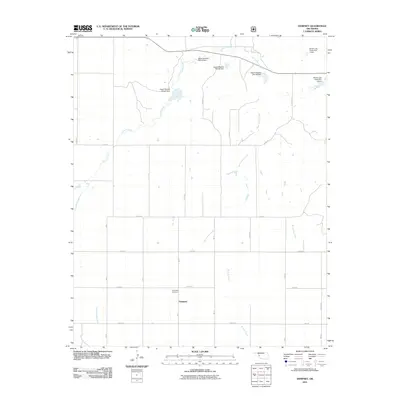
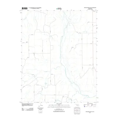
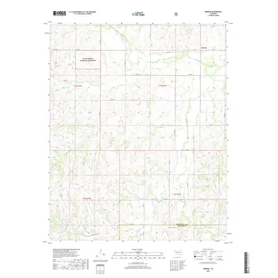
Historical Maps of Herring Through Time
94 maps found
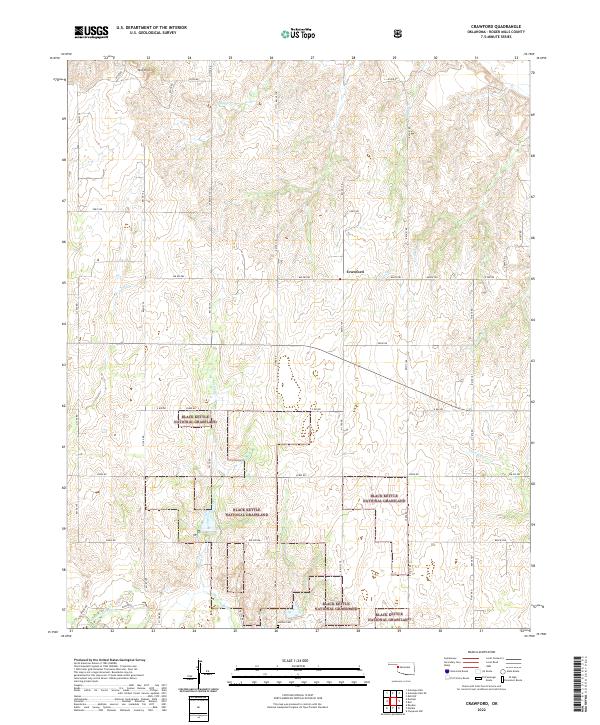
1965 Crawford
Roger Mills County, OK
1966 Antelope Hills NE
Roger Mills County, OK
1966 Roll
Roger Mills County, OK
1966 Roll SE
Roger Mills County, OK

1984 Foss Reservoir
Roger Mills County, OK
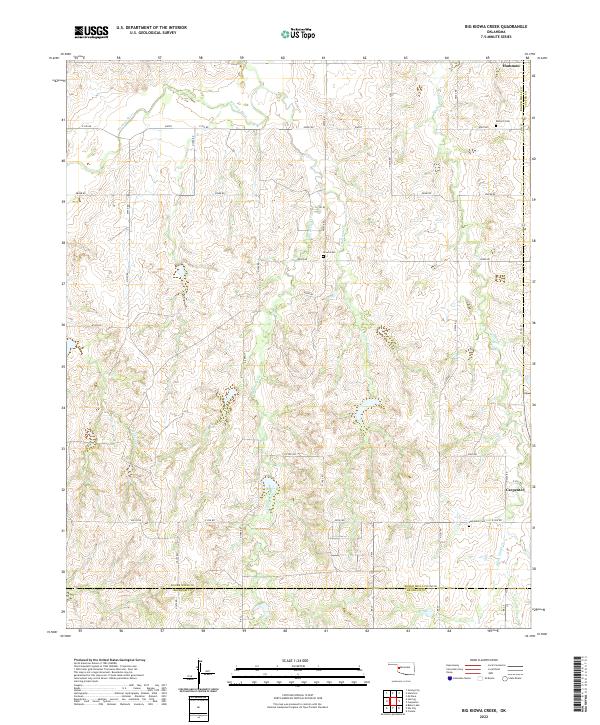
1987 Big Kiowa Creek
Roger Mills County, OK
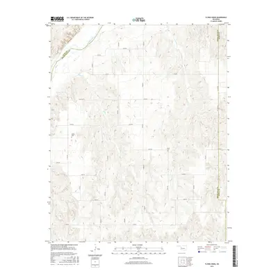
1987 Flying Creek
Roger Mills County, OK
1987 Leedey SW
Roger Mills County, OK
1988 Dempsey
Roger Mills County, OK
1988 Grimes
Roger Mills County, OK
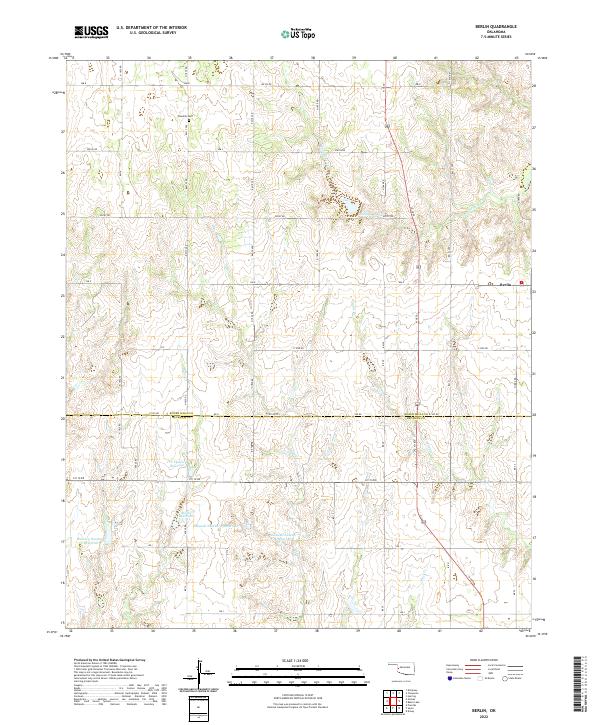
1989 Berlin
Roger Mills County, OK
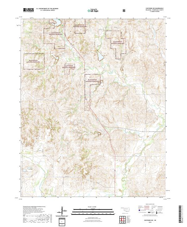
1989 Cheyenne NW
Roger Mills County, OK
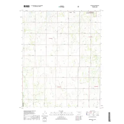
1989 Herring
Roger Mills County, OK
1989 Mackie
Roger Mills County, OK
1989 Reydon SW
Roger Mills County, OK

1990 Foss Reservoir
Roger Mills County, OK
1998 Cheyenne NW
Roger Mills County, OK
1998 Crawford
Roger Mills County, OK
1998 Dempsey
Roger Mills County, OK
1998 Herring
Roger Mills County, OK
1998 Mackie
Roger Mills County, OK
1998 Reydon SW
Roger Mills County, OK
1998 Roll
Roger Mills County, OK
1998 Roll SE
Roger Mills County, OK
2010 Antelope Hills NE
Roger Mills County, OK
2010 Berlin
Roger Mills County, OK
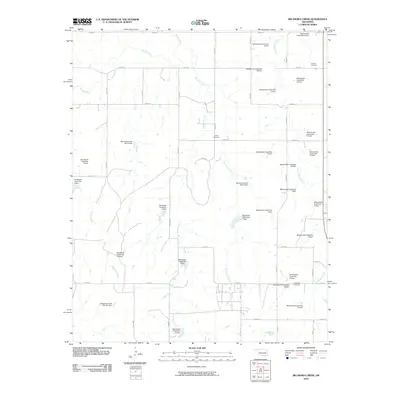
2010 Big Kiowa Creek
Roger Mills County, OK
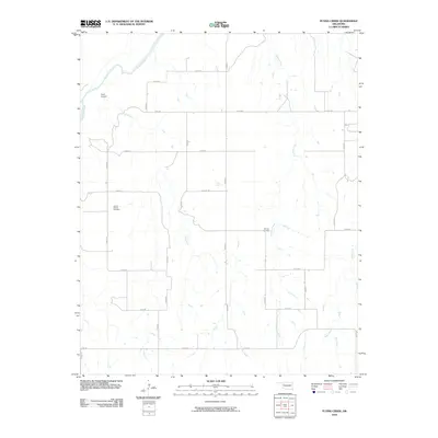
2010 Flying Creek
Roger Mills County, OK
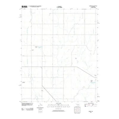
2010 Grimes
Roger Mills County, OK
2010 Leedey SW
Roger Mills County, OK
2011 Cheyenne NW
Roger Mills County, OK
2011 Crawford
Roger Mills County, OK
2011 Dempsey
Roger Mills County, OK
2011 Herring
Roger Mills County, OK
2011 Mackie
Roger Mills County, OK
2011 Reydon SW
Roger Mills County, OK
2011 Roll
Roger Mills County, OK
2011 Roll SE
Roger Mills County, OK
2012 Antelope Hills NE
Roger Mills County, OK
2012 Berlin
Roger Mills County, OK
2012 Big Kiowa Creek
Roger Mills County, OK
2012 Cheyenne NW
Roger Mills County, OK
2012 Crawford
Roger Mills County, OK
2012 Dempsey
Roger Mills County, OK
2012 Flying Creek
Roger Mills County, OK
2012 Grimes
Roger Mills County, OK
2012 Herring
Roger Mills County, OK
2012 Leedey SW
Roger Mills County, OK
2012 Mackie
Roger Mills County, OK
2012 Reydon SW
Roger Mills County, OK
2012 Roll
Roger Mills County, OK
2012 Roll SE
Roger Mills County, OK
2016 Antelope Hills NE
Roger Mills County, OK
2016 Berlin
Roger Mills County, OK
2016 Big Kiowa Creek
Roger Mills County, OK
2016 Cheyenne NW
Roger Mills County, OK
2016 Crawford
Roger Mills County, OK
2016 Dempsey
Roger Mills County, OK
2016 Flying Creek
Roger Mills County, OK
2016 Grimes
Roger Mills County, OK
2016 Herring
Roger Mills County, OK
2016 Leedey SW
Roger Mills County, OK
2016 Mackie
Roger Mills County, OK
2016 Reydon SW
Roger Mills County, OK
2016 Roll
Roger Mills County, OK
2016 Roll SE
Roger Mills County, OK
2018 Antelope Hills NE
Roger Mills County, OK
2018 Berlin
Roger Mills County, OK
2018 Big Kiowa Creek
Roger Mills County, OK
2018 Cheyenne NW
Roger Mills County, OK
2018 Crawford
Roger Mills County, OK
2018 Dempsey
Roger Mills County, OK
2018 Flying Creek
Roger Mills County, OK
2018 Grimes
Roger Mills County, OK
2018 Herring
Roger Mills County, OK
2018 Leedey SW
Roger Mills County, OK
2018 Mackie
Roger Mills County, OK
2018 Reydon SW
Roger Mills County, OK
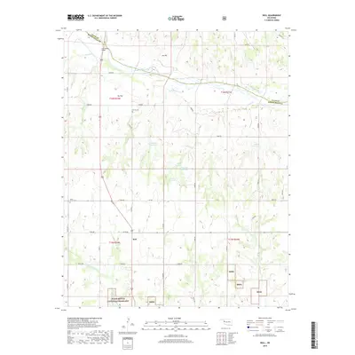
2018 Roll
Roger Mills County, OK
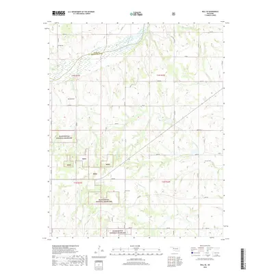
2018 Roll SE
Roger Mills County, OK
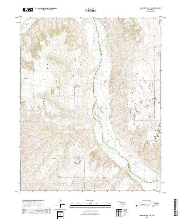
2022 Antelope Hills NE
Roger Mills County, OK
2022 Berlin
Roger Mills County, OK
2022 Big Kiowa Creek
Roger Mills County, OK
2022 Cheyenne NW
Roger Mills County, OK
2022 Crawford
Roger Mills County, OK
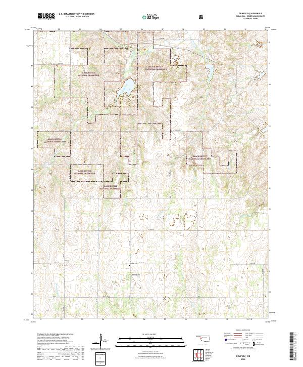
2022 Dempsey
Roger Mills County, OK
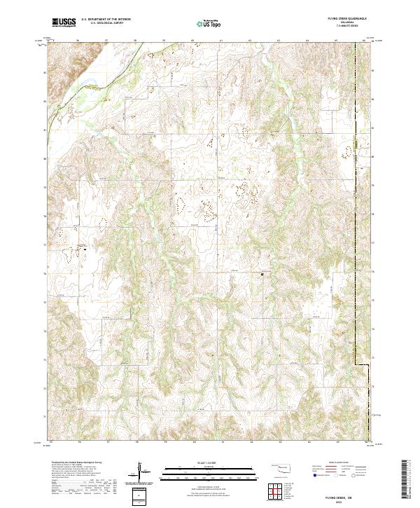
2022 Flying Creek
Roger Mills County, OK
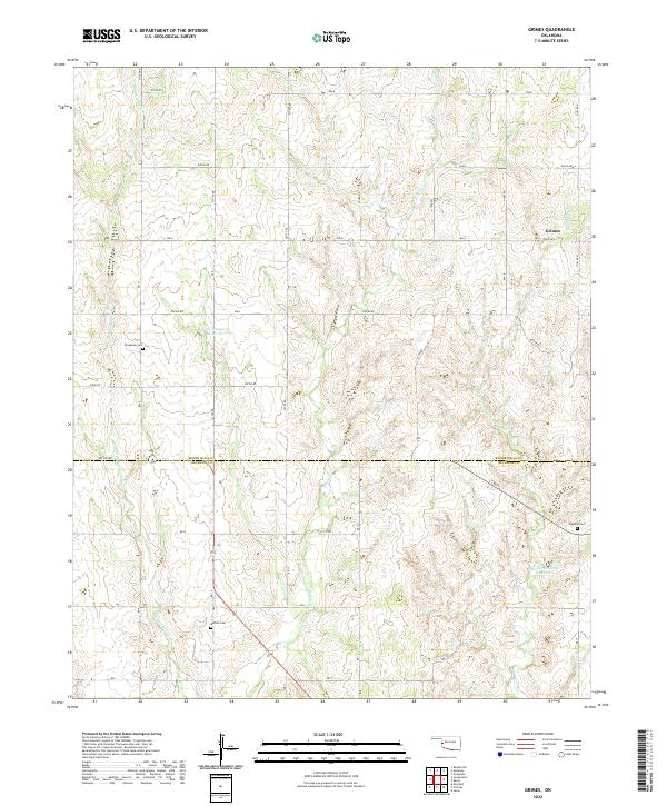
2022 Grimes
Roger Mills County, OK
2022 Herring
Roger Mills County, OK
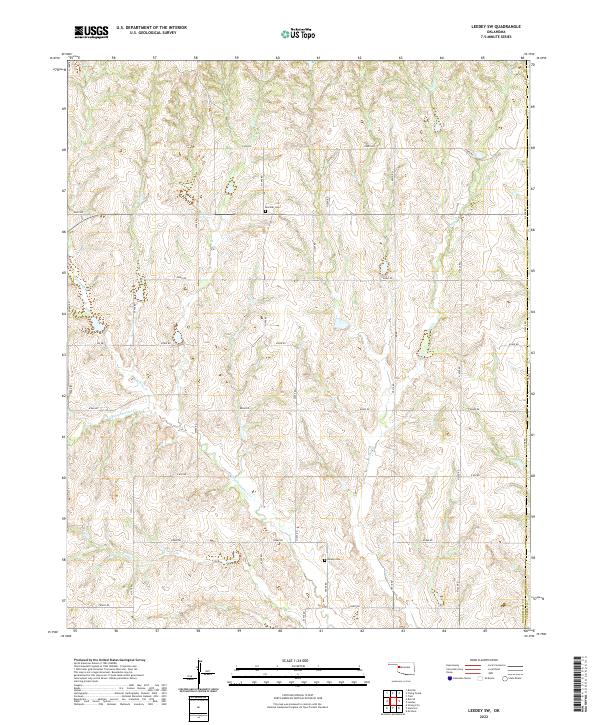
2022 Leedey SW
Roger Mills County, OK
2022 Mackie
Roger Mills County, OK
2022 Reydon SW
Roger Mills County, OK
2022 Roll
Roger Mills County, OK
2022 Roll SE
Roger Mills County, OK