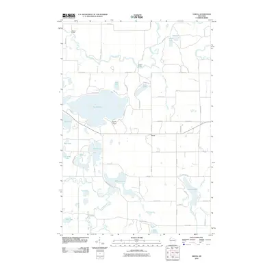
2010 Map of Hertel
USGS Topo · Published 2010About this map
The Yellow River and North Fork Clam River anchor the drainage of this lake-strewn portion of Burnett County in the early 21st century. The landscape is defined by its glacial hydrology, featuring large water bodies like Big Sand Lake and Pokegama Lake, along with numerous smaller basins including Baker, Temple, and Lost. The settlement of Hertel serves as a central hub, situated near the intersection of several county routes and local roads.
Find a feature on this map
61 named features on this map. Tap any name to fly to it.
Don’t see what you’re looking for? This feature index may not catch every label — zoom into the map to look around manually.
Map Details
Editions of this 2010 Hertel Map
This is the sole edition of this map. No revisions or reprints were ever made.
Other maps of this area

1949 · Hertel
USGS Topo · 1:48,000

1950 · Webster
USGS Topo · 1:48,000

1951 · Cumberland
USGS Topo · 1:48,000

1951 · Frederic
USGS Topo · 1:48,000

1953 · Stillwater
USGS Topo · 1:250,000

1955 · Hertel
USGS Topo · 1:62,500

1955 · Webster
USGS Topo · 1:62,500

1955 · Frederic
USGS Topo · 1:62,500

1955 · Stillwater
USGS Topo · 1:250,000

1956 · Cumberland
USGS Topo · 1:62,500