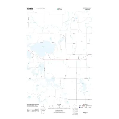
2013 Map of Hertel
USGS Topo · Published 2013About this map
The glacial landscape of Burnett County is prominently displayed through a dense network of water bodies, centered on the expansive Big Sand Lake. At this time in the early 21st century, the area shows a clear pattern of seasonal and residential development concentrated along the shores of Pokegama Lake, Warner Lake, and Viola Lake. The Yellow River meanders across the northern reaches, while the North Fork Clam River drains the southwest, illustrating the complex hydrography of the region.
Find a feature on this map
66 named features on this map. Tap any name to fly to it.
Don’t see what you’re looking for? This feature index may not catch every label — zoom into the map to look around manually.
Map Details
Editions of this 2013 Hertel Map
This is the sole edition of this map. No revisions or reprints were ever made.
Other maps of this area
1949 · Hertel
USGS Topo · 1:48,000
1950 · Webster
USGS Topo · 1:48,000
1951 · Cumberland
USGS Topo · 1:48,000

1951 · Frederic
USGS Topo · 1:48,000

1953 · Stillwater
USGS Topo · 1:250,000
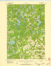
1955 · Hertel
USGS Topo · 1:62,500
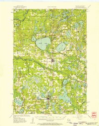
1955 · Webster
USGS Topo · 1:62,500
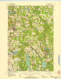
1955 · Frederic
USGS Topo · 1:62,500

1955 · Stillwater
USGS Topo · 1:250,000
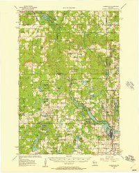
1956 · Cumberland
USGS Topo · 1:62,500