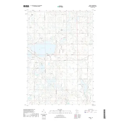
2018 Map of Hertel
USGS Topo · Published 2018About this map
Hertel serves as the central hub for this portion of Burnett County, situated at the intersection of local routes in a landscape defined by an extensive network of glacial lakes and drainage systems. The northern territory is dominated by the winding path of the Yellow River, which is crossed by notable local crossings such as Whistler Bridge and Pearson Bridge. These waterways, including Spring Brook and Black Brook, feed into a dense concentration of water bodies that supported the early development of the region's recreational and agricultural character.
Find a feature on this map
74 named features on this map. Tap any name to fly to it.
Don’t see what you’re looking for? This feature index may not catch every label — zoom into the map to look around manually.
Map Details
Editions of this 2018 Hertel Map
This is the sole edition of this map. No revisions or reprints were ever made.
Other maps of this area

1949 · Hertel
USGS Topo · 1:48,000

1950 · Webster
USGS Topo · 1:48,000

1951 · Cumberland
USGS Topo · 1:48,000

1951 · Frederic
USGS Topo · 1:48,000

1953 · Stillwater
USGS Topo · 1:250,000

1955 · Hertel
USGS Topo · 1:62,500

1955 · Webster
USGS Topo · 1:62,500

1955 · Frederic
USGS Topo · 1:62,500

1955 · Stillwater
USGS Topo · 1:250,000

1956 · Cumberland
USGS Topo · 1:62,500