
1951 Map of Hesper
USGS Topo · Published 1953About this map
The Northern Pacific railroad tracks cut through the northeastern corner of this Benson County landscape, serving the small community of Hesper. This mid-century survey captures a rural environment defined by its water sources and township divisions, including Rich Valley and Arne. The hydrology is a mix of terminal prairie lakes and the winding course of the North Fork Sheyenne River, which flows southward to join the main Sheyenne River. Local life centers around rural institutions like the Rich Valley Sch and Fairview Ch, while landmarks such as Palmer Spring and Legreid Lake provide specific geographic anchors for genealogists and local historians tracking family landholdings. The map reflects a period when these prairie townships maintained distinct identities through their local schools and churches.
Find a feature on this map
15 named features on this map. Tap any name to fly to it.
Don’t see what you’re looking for? This feature index may not catch every label — zoom into the map to look around manually.
Map Details
Editions of this 1951 Hesper Map
This is the sole edition of this map. No revisions or reprints were ever made.
Other maps of this area

1941 · Selz
USGS Topo · 1:62,500

1943 · Maddock
USGS Topo · 1:62,500

1945 · Maddock
USGS Topo · 1:62,500

1950 · Wellsburg
USGS Topo · 1:24,000

1951 · Selz NE
USGS Topo · 1:24,000

1951 · Maddock
USGS Topo · 1:24,000
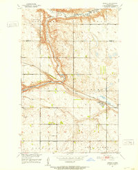
1951 · Heimdal
USGS Topo · 1:24,000
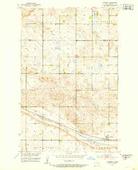
1951 · Hamberg
USGS Topo · 1:24,000

1952 · New Rockford
USGS Topo · 1:250,000

1953 · Devils Lake
USGS Topo · 1:250,000