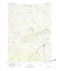
1958 Map of Hesperia
USGS Topo · Published 1982About this map
The Manistee National Forest covers much of this mid-century landscape, where the North Branch White River and the South Branch Pentwater River carve through the glacial terrain of western Michigan. The village of Hesperia serves as a primary hub along the White River, while smaller settlements like Walkerville, Ferry, and Volney anchor the surrounding rural townships.
Find a feature on this map
103 named features on this map. Tap any name to fly to it.
Don’t see what you’re looking for? This feature index may not catch every label — zoom into the map to look around manually.
Map Details
Editions of this 1958 Hesperia Map
3 editions found

Other maps of this area

1929 · Montague
USGS Topo · 1:48,000

1931 · Custer SW
USGS Topo · 1:31,680

1931 · Hart SE
USGS Topo · 1:31,680

1931 · Walkerville NE
USGS Topo · 1:31,680

1931 · Hart NE
USGS Topo · 1:31,680

1931 · Walkerville SW
USGS Topo · 1:31,680

1931 · Walkerville NW
USGS Topo · 1:31,680

1931 · Custer SE
USGS Topo · 1:31,680

1931 · Walkerville SE
USGS Topo · 1:31,680

1932 · Ludington SE
USGS Topo · 1:31,680