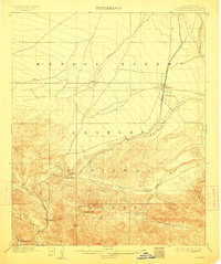
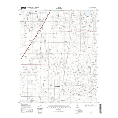
1902 Map of Hesperia
USGS Topo · Published 1912About this map
Hesperia stands as a lonely outpost at the edge of the Mohave Desert, serving as a critical point on the Southern California railroad line at the turn of the century. This survey, conducted just before the peak of the ranching era in the High Desert, captures the essential transport corridor where the iron rails descend from Summit toward the Antelope Valley. The geography is dominated by the transition from the high desert plateau to the steep drainage systems of the Angeles National Forest, specifically where the West Fork of Mohave River and the East Fork converge.
Find a feature on this map
20 named features on this map. Tap any name to fly to it.
Don’t see what you’re looking for? This feature index may not catch every label — zoom into the map to look around manually.
Map Details
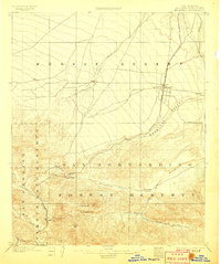
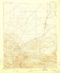
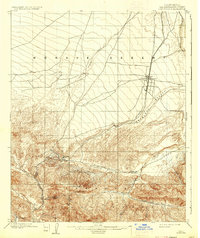
Editions of this 1902 Hesperia Map
6 editions found

Historical Maps of Victorville Through Time
8 maps found
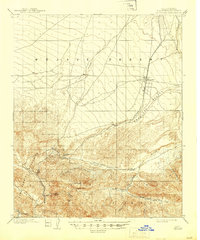
1902 Hesperia
San Bernardino County, CA
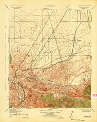
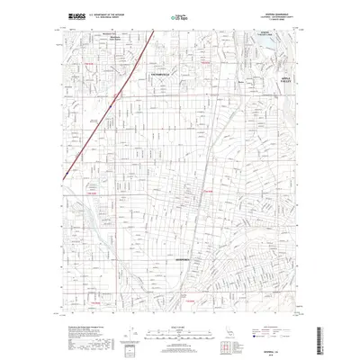
1942 Hesperia
San Bernardino County, CA
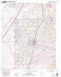
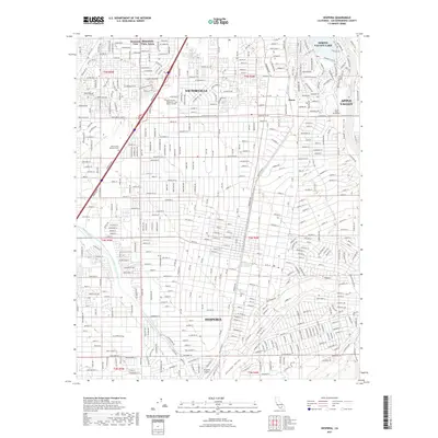
1956 Hesperia
San Bernardino County, CA
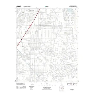
2012 Hesperia
San Bernardino County, CA
2015 Hesperia
San Bernardino County, CA
2018 Hesperia
San Bernardino County, CA
2021 Hesperia
San Bernardino County, CA
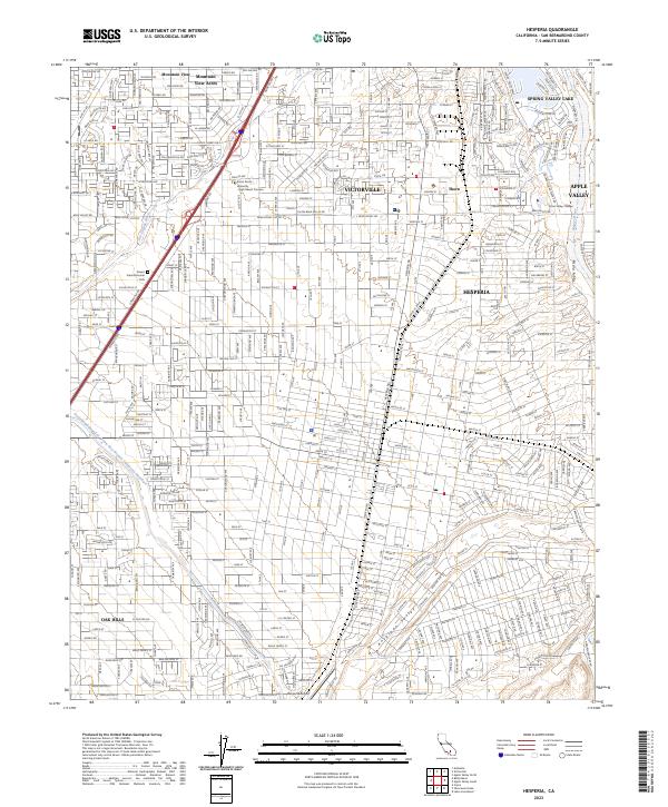
2023 Hesperia
San Bernardino County, CA