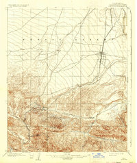
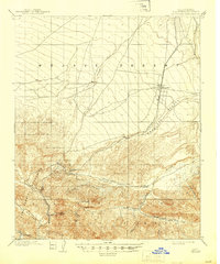
1902 Map of Hesperia
USGS Topo · Published 1936About this map
The Southern California railroad serves as the primary artery through this high desert landscape, connecting the burgeoning settlement of Hesperia to the mountain passes. The map reveals a land defined by its dramatic elevation changes, where the Mojave Desert and Antelope Valley meet the rising peaks of the Angeles National Forest. Water sources like the Mohave River and Oro Grande Wash dictate the locations of early outposts, including Las Flores Ranch and Glen Ranch at the mountain base.
Find a feature on this map
19 named features on this map. Tap any name to fly to it.
Don’t see what you’re looking for? This feature index may not catch every label — zoom into the map to look around manually.
Map Details
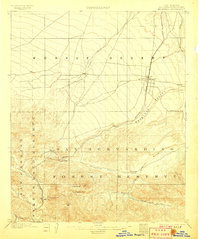
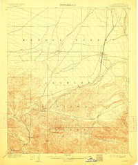
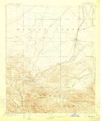
Editions of this 1902 Hesperia Map
6 editions found
Other maps of this area

1896 · San Bernardino
USGS Topo · 1:62,500

1897 · Cucamonga
USGS Topo · 1:62,500

1898 · San Bernardino
USGS Topo · 1:62,500

1899 · Redlands
USGS Topo · 1:62,500

1900 · Cucamonga
USGS Topo · 1:62,500

1901 · Southern California Sheet No. 1
USGS Topo · 1:250,000

1901 · San Bernardino
USGS Topo · 1:62,500

1901 · Redlands
USGS Topo · 1:62,500

1902 · Deep Creek
USGS Topo · 1:62,500

1902 · Hesperia
USGS Topo · 1:62,500