
1963 Map of Hesperus
USGS Topo · Published 1973About this map
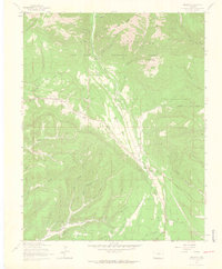
Mining and recreation define the high-altitude landscape of the La Plata Mountains in the mid-1960s. The settlement of Hesperus sits at the base of the mountains, flanked by the Hesperus Ski Center and the Hesperus Mine. Evidence of a heavy industrial past is seen in the Old Railroad Grade that winds through the canyon towards Mayday, where the Bay City Mine once operated.
Find a feature on this map
63 named features on this map. Tap any name to fly to it.
Don’t see what you’re looking for? This feature index may not catch every label — zoom into the map to look around manually.
Map Details
Editions of this 1963 Hesperus Map
4 editions found
Other maps of this area

1895 · La Plata
USGS Topo · 1:62,500

1897 · La Plata
USGS Topo · 1:62,500

1898 · Durango
USGS Topo · 1:62,500

1899 · La Plata
USGS Topo · 1:62,500

1907 · Durango
USGS Topo · 1:62,500

1908 · Ignacio
USGS Topo · 1:125,000

1908 · Durango
USGS Topo · 1:62,500

1908 · La Plata
USGS Topo · 1:62,500

1913 · Red Mesa
USGS Topo · 1:62,500

1924 · Ignacio
USGS Topo · 1:125,000