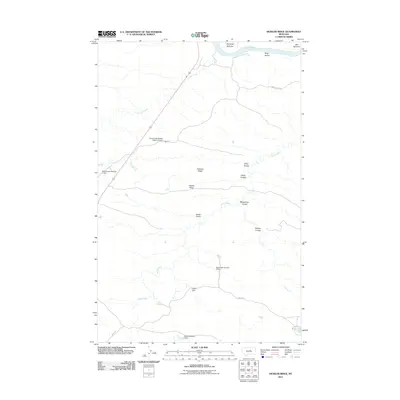
2011 Map of Hessler Ridge
USGS Topo · Published 2011About this map
The Missouri River carves the northern boundary of this Fergus County landscape, defining the fertile riverbanks of Gardipee Bottoms and Bell Bottoms. Inland from the river, the topography is shaped by a series of named drainages and elevations, including Hessler Ridge and Galhand Ridge. This section of central Montana is characterized by its drainage network, where Armells Creek and Sand Creek cut through the terrain, the latter punctuated by small-scale water management features like Cope Dam and Jakes Reservoir.
Find a feature on this map
21 named features on this map. Tap any name to fly to it.
Don’t see what you’re looking for? This feature index may not catch every label — zoom into the map to look around manually.
Map Details
Editions of this 2011 Hessler Ridge Map
This is the sole edition of this map. No revisions or reprints were ever made.
Other maps of this area

1943 · Landusky
USGS Topo · 1:125,000

1954 · Bell Ridge East
USGS Topo · 1:24,000

1954 · Hessler Ridge
USGS Topo · 1:24,000

1954 · Carter Coulee
USGS Topo · 1:24,000

1954 · Bell Ridge West
USGS Topo · 1:24,000

1954 · Grand Island
USGS Topo · 1:24,000

1954 · Lewistown
USGS Topo · 1:250,000

1959 · Lewistown
USGS Topo · 1:250,000

1984 · Zortman
USGS Topo · 1:100,000

1985 · Griffee Coulee
USGS Topo · 1:24,000