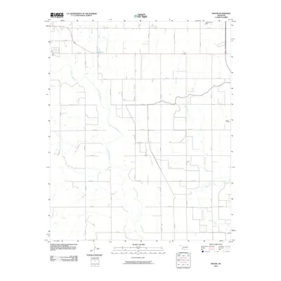
2010 Map of Hester
USGS Topo · Published 2010About this map
The Salt Fork Red River meanders across this rural section of Greer County, defining a landscape shaped by agricultural grid lines and seasonal watercourses. The map captures the area's infrastructure through a dense network of county roads, including E1510 Rd and N1990 Rd, which provide access to the vast ranchlands and farms between the river and Bitter Creek. For those researching local history, the Hester Cemetery stands as a primary landmark in the eastern portion of the quadrangle, serving as a focal point for the surrounding community. Modern water management is evident in the northern reaches, where the Lloyd Sullivan Dam creates Borders Lake, illustrating the ongoing efforts to harness the region's intermittent water supply for local utility.
Find a feature on this map
26 named features on this map. Tap any name to fly to it.
Don’t see what you’re looking for? This feature index may not catch every label — zoom into the map to look around manually.
Map Details
Editions of this 2010 Hester Map
This is the sole edition of this map. No revisions or reprints were ever made.
Other maps of this area

1955 · Lawton
USGS Topo · 1:250,000

1964 · Martha
USGS Topo · 1:24,000

1964 · Altus
USGS Topo · 1:24,000

1971 · Blair
USGS Topo · 1:24,000

1971 · Mangum North
USGS Topo · 1:24,000

1971 · Granite
USGS Topo · 1:24,000

1971 · Mangum South
USGS Topo · 1:24,000

1971 · Duke
USGS Topo · 1:24,000

1971 · Hester
USGS Topo · 1:24,000

1971 · Lake Altus
USGS Topo · 1:24,000