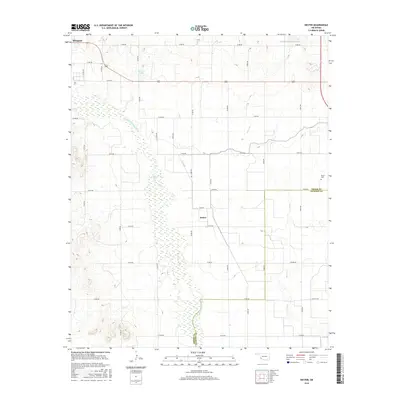
2016 Map of Hester
USGS Topo · Published 2016About this map
The Salt Fork Red River dominates the western landscape of this Greer County region, its wide, braided channel carving through the plains south of Mangum. This 2016 survey documents a rural agricultural environment defined by a rigid grid of county roads and vital water management features like the W Canal and Lloyd Sullivan Reservoir. The small community of Hester sits near the center of the map, serving as a quiet focal point alongside the nearby Hester Cem. To the north, the terrain is dotted with small water bodies such as Borders Lake, while Bitter Cr meanders through the eastern section towards the Jackson County line. The map illustrates the persistent intersection of natural watercourses and man-made irrigation essential to life on the Oklahoma prairie.
Find a feature on this map
22 named features on this map. Tap any name to fly to it.
Don’t see what you’re looking for? This feature index may not catch every label — zoom into the map to look around manually.
Map Details
Editions of this 2016 Hester Map
This is the sole edition of this map. No revisions or reprints were ever made.
Other maps of this area

1955 · Lawton
USGS Topo · 1:250,000

1964 · Martha
USGS Topo · 1:24,000

1964 · Altus
USGS Topo · 1:24,000

1971 · Blair
USGS Topo · 1:24,000

1971 · Mangum North
USGS Topo · 1:24,000

1971 · Granite
USGS Topo · 1:24,000

1971 · Mangum South
USGS Topo · 1:24,000

1971 · Duke
USGS Topo · 1:24,000

1971 · Hester
USGS Topo · 1:24,000

1971 · Lake Altus
USGS Topo · 1:24,000