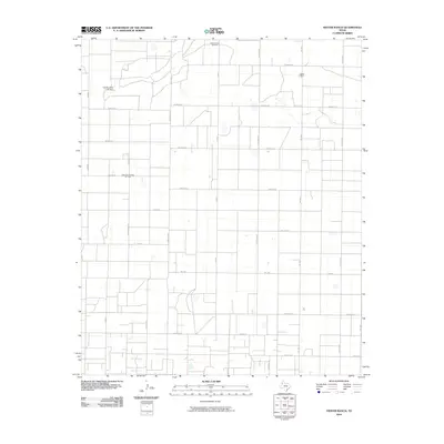
2010 Map of Hester Ranch
USGS Topo · Published 2010About this map
Yellow House Oil Field and the Pettit San Andreas Oil Field anchor the landscape of this Hockley County region, where the industrial infrastructure of West Texas petroleum extraction meets a highly organized agricultural grid. The terrain is defined by a systematic network of roads named after world nations and major cities, including India Rd, Greece, Denmark Rd, and Indianapolis Rd. This naming convention suggests a mid-century period of rapid rural development and land partitioning. Near the northern boundary, Hester Ranch stands as a primary local landmark, while the Gordon Cobb Lake Dam indicates the management of scarce water resources in this High Plains environment. The map provides a detailed view of the section lines and farm-to-market routes like Fm 1490 and Fm 2306 that facilitate the movement of goods from these remote oil fields and ranches.
Find a feature on this map
24 named features on this map. Tap any name to fly to it.
Don’t see what you’re looking for? This feature index may not catch every label — zoom into the map to look around manually.
Map Details
Editions of this 2010 Hester Ranch Map
This is the sole edition of this map. No revisions or reprints were ever made.
Other maps of this area

1954 · Brownfield
USGS Topo · 1:250,000

1958 · Brownfield
USGS Topo · 1:250,000

1962 · Brownfield
USGS Topo · 1:250,000

1964 · Oklahoma Flat
USGS Topo · 1:24,000

1964 · Pep
USGS Topo · 1:24,000

1964 · Lums Chapel
USGS Topo · 1:24,000

1964 · Whitharral
USGS Topo · 1:24,000

1965 · Levelland West
USGS Topo · 1:24,000

1965 · Levelland East
USGS Topo · 1:24,000

1965 · Hester Ranch
USGS Topo · 1:24,000