
1964 Map of Pep
USGS Topo · Published 1966About this map
Pep anchors this High Plains landscape at the intersection of four Texas counties: Hockley, Lamb, Cochran, and Bailey. Surveyed in the mid-1960s, the area is defined by its wide, semi-arid reaches where water management is paramount, evidenced by the numerous Wells and specialized markers like Double Windmills and South Twohile Windmill that dot the terrain. The community life of this rural pocket is centered around the local parish grounds at St Philips Cem.
Find a feature on this map
22 named features on this map. Tap any name to fly to it.
Don’t see what you’re looking for? This feature index may not catch every label — zoom into the map to look around manually.
Map Details
Editions of this 1964 Pep Map
This is the sole edition of this map. No revisions or reprints were ever made.
Other maps of this area

1954 · Brownfield
USGS Topo · 1:250,000

1958 · Brownfield
USGS Topo · 1:250,000

1962 · Brownfield
USGS Topo · 1:250,000

1964 · Oklahoma Flat
USGS Topo · 1:24,000
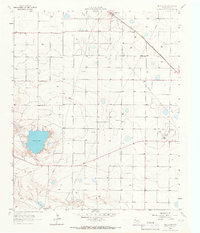
1964 · Bull Lake
USGS Topo · 1:24,000
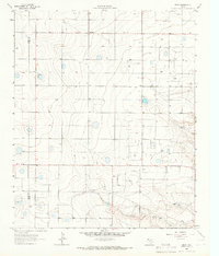
1964 · Beck
USGS Topo · 1:24,000

1965 · Hester Ranch
USGS Topo · 1:24,000

1965 · Pettit
USGS Topo · 1:24,000
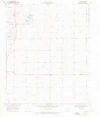
1968 · Bula
USGS Topo · 1:24,000

1971 · Whiteface NW
USGS Topo · 1:24,000