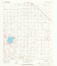
1964 Map of Bull Lake
USGS Topo · Published 1966About this map
The High Plains of Lamb County are defined by a series of ephemeral basins and industrial infrastructure in the mid-1960s. Bull Lake sits as the primary natural landmark, fed by the winding course of Bull Draw to the southwest. The landscape is heavily marked by human utility, featuring an extensive network of pipelines and several Gravel Pits that suggest local mineral extraction during this period of development.
Find a feature on this map
14 named features on this map. Tap any name to fly to it.
Don’t see what you’re looking for? This feature index may not catch every label — zoom into the map to look around manually.
Map Details
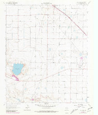
Editions of this 1964 Bull Lake Map
2 editions found
Other maps of this area

1954 · Clovis
USGS Topo · 1:250,000

1954 · Brownfield
USGS Topo · 1:250,000

1958 · Brownfield
USGS Topo · 1:250,000

1958 · Clovis
USGS Topo · 1:250,000

1962 · Brownfield
USGS Topo · 1:250,000

1962 · Amherst
USGS Topo · 1:24,000

1962 · Sudan
USGS Topo · 1:24,000

1962 · Cofferville
USGS Topo · 1:24,000

1964 · Oklahoma Flat
USGS Topo · 1:24,000

1964 · Littlefield
USGS Topo · 1:24,000