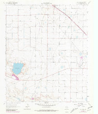
1964 Map of Bull Lake
USGS Topo · Published 1981About this map
The High Plains landscape of Lamb County is defined by agricultural precision and industrial infrastructure in this mid-1960s study, later updated to reflect the evolving environment of the late 1970s. Amherst sits at the northern edge of the sheet, where the Atchison Topeka and Santa Fe railroad cuts a diagonal line across the grid of section lines and irrigation wells. The namesake Bull Lake and the winding Bull Draw provide the primary topographical relief in an area otherwise dedicated to production, evidenced by numerous gravel pits and a Quarry. Local history is anchored by the Amherst Cem and Sacred Heart Cem, while mid-century culture is represented by a Drive-in Theater near the town center. The presence of the Littlefield Municipal Airport and prominent Radio Towers highlights the region's role as a transportation and communication hub for the surrounding Texas panhandle plains.
Find a feature on this map
16 named features on this map. Tap any name to fly to it.
Don’t see what you’re looking for? This feature index may not catch every label — zoom into the map to look around manually.
Map Details
Editions of this 1964 Bull Lake Map
2 editions found
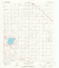
Other maps of this area

1954 · Clovis
USGS Topo · 1:250,000

1954 · Brownfield
USGS Topo · 1:250,000

1958 · Brownfield
USGS Topo · 1:250,000

1958 · Clovis
USGS Topo · 1:250,000

1962 · Brownfield
USGS Topo · 1:250,000

1962 · Amherst
USGS Topo · 1:24,000

1962 · Sudan
USGS Topo · 1:24,000

1962 · Cofferville
USGS Topo · 1:24,000

1964 · Oklahoma Flat
USGS Topo · 1:24,000

1964 · Littlefield
USGS Topo · 1:24,000