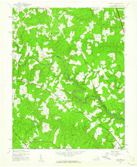
1943 Map of Hewlett
USGS Topo · Published 1961About this map
The North Anna River snakes through this rural Virginia landscape, defining the administrative boundary between Caroline County and Hanover County during the 1940s. The region is characterized by a series of small, dispersed crossroads settlements including Chilesburg, Holliday, and Verdon, many of which were serviced by the Chesapeake and Ohio railroad line cutting diagonally across the quadrangle. Local civic life is anchored by landmarks such as Mt Hewlett Sch and nearby houses of worship like Mt Salem Ch and Elon Ch. This topography, mapped from 1942 aerial photography, reveals a traditional Southern land use pattern where farms and wooded ridges like Pine Hook Ridge are interspersed with tributary streams such as Beaverdam Creek and Stevens Mill Run, illustrating the quiet agrarian character of the area before modern development changed the local footprint.
Find a feature on this map
20 named features on this map. Tap any name to fly to it.
Don’t see what you’re looking for? This feature index may not catch every label — zoom into the map to look around manually.
Map Details
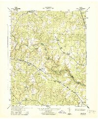
Editions of this 1943 Hewlett Map
2 editions found
Other maps of this area

1887 · Spottsylvania
USGS Topo · 1:125,000

1889 · Fredericksburg
USGS Topo · 1:125,000

1890 · Goochland
USGS Topo · 1:125,000

1892 · Fredericksburg
USGS Topo · 1:125,000

1892 · Spottsylvania
USGS Topo · 1:125,000

1892 · Goochland
USGS Topo · 1:125,000

1894 · Fredericksburg
USGS Topo · 1:125,000

1918 · Doswell
USGS Topo · 1:62,500

1942 · Woodford
USGS Topo · 1:31,680

1942 · Ladysmith
USGS Topo · 1:31,680