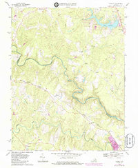
1969 Map of Hewlett
USGS Topo · Published 1985About this map
The North Anna River and its deep meanders form the primary boundary between Hanover and Caroline counties, defining a landscape of wooded ridges and swampy bottoms. This late 1960s survey documents the rural character of the region just as Lake Caroline was emerging in the northeast, contrasted against long-standing rail settlements like Hewlett and Noel along the Chesapeake and Ohio railroad line. Local spiritual life is anchored by several small country churches, including Elon Ch, Mt Salem Ch, and Mt Carmel Ch, scattered near crossroads that have served family farms for generations.
Find a feature on this map
37 named features on this map. Tap any name to fly to it.
Don’t see what you’re looking for? This feature index may not catch every label — zoom into the map to look around manually.
Map Details
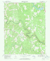
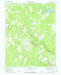
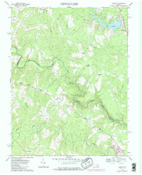
Editions of this 1969 Hewlett Map
4 editions found
Other maps of this area

1887 · Spottsylvania
USGS Topo · 1:125,000

1889 · Fredericksburg
USGS Topo · 1:125,000

1890 · Goochland
USGS Topo · 1:125,000

1892 · Fredericksburg
USGS Topo · 1:125,000

1892 · Spottsylvania
USGS Topo · 1:125,000

1892 · Goochland
USGS Topo · 1:125,000

1894 · Fredericksburg
USGS Topo · 1:125,000

1918 · Doswell
USGS Topo · 1:62,500

1942 · Woodford
USGS Topo · 1:31,680

1942 · Ladysmith
USGS Topo · 1:31,680