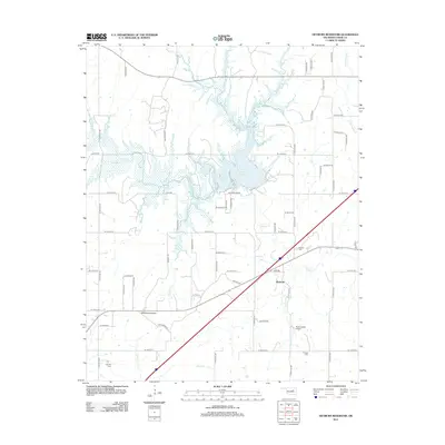
2013 Map of Heyburn Reservoir
USGS Topo · Published 2013About this map
Heyburn Lake dominates this 2013 landscape in Creek County, formed where Polecat Cr and Mosquito Cr converge. The reservoir's irregular shoreline is surrounded by a network of rural roads that follow the section lines of the Oklahoma terrain, including historical alignments like Old Hwy 66. To the south, the settlement of Heyburn sits near the winding course of Neversweat Cr, which feeds into the lake from the south alongside Neversweat Airport.
Find a feature on this map
42 named features on this map. Tap any name to fly to it.
Don’t see what you’re looking for? This feature index may not catch every label — zoom into the map to look around manually.
Map Details
Editions of this 2013 Heyburn Reservoir Map
This is the sole edition of this map. No revisions or reprints were ever made.
Other maps of this area

1901 · Nuyaka
USGS Topo · 1:125,000

1912 · Hominy
USGS Topo · 1:125,000

1914 · Kiefer
USGS Topo · 1:62,500

1915 · Hominy
USGS Topo · 1:125,000

1916 · Kiefer
USGS Topo · 1:62,500

1916 · Bristow
USGS Topo · 1:62,500

1954 · Oklahoma City
USGS Topo · 1:250,000

1955 · Enid
USGS Topo · 1:250,000

1957 · Oklahoma City
USGS Topo · 1:250,000

1958 · Enid
USGS Topo · 1:250,000