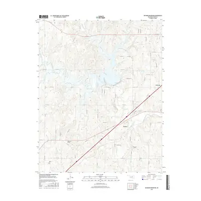
2016 Map of Heyburn Reservoir
USGS Topo · Published 2016About this map
Heyburn Reservoir and the adjacent Heyburn Lake dominate this central Oklahoma landscape, where the waters of Polecat Creek are managed among the rolling terrain of Creek County. The settlement of Kellyville anchors the eastern edge of the map, while the smaller community of Heyburn sits further west near the Neversweat Airport. This area preserves several localized landmarks, including Wildhorse Prairie and the landing strip at Provens.
Find a feature on this map
74 named features on this map. Tap any name to fly to it.
Don’t see what you’re looking for? This feature index may not catch every label — zoom into the map to look around manually.
Map Details
Editions of this 2016 Heyburn Reservoir Map
This is the sole edition of this map. No revisions or reprints were ever made.
Other maps of this area

1901 · Nuyaka
USGS Topo · 1:125,000

1912 · Hominy
USGS Topo · 1:125,000

1914 · Kiefer
USGS Topo · 1:62,500

1915 · Hominy
USGS Topo · 1:125,000

1916 · Kiefer
USGS Topo · 1:62,500

1916 · Bristow
USGS Topo · 1:62,500

1954 · Oklahoma City
USGS Topo · 1:250,000

1955 · Enid
USGS Topo · 1:250,000

1957 · Oklahoma City
USGS Topo · 1:250,000

1958 · Enid
USGS Topo · 1:250,000