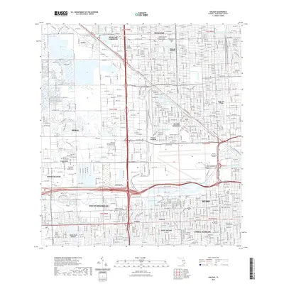
2021 Map of Hialeah
USGS Topo · Published 2021About this map
Miami Springs and Virginia Gardens anchor the central portion of this modern survey, revealing the dense urban development of Miami-Dade County. The landscape is defined by its extensive water management system, including the Miami Canal Number 6, Tamiami Canal Number 4, and Coral Gables Canal. These waterways interact with a series of lakes such as Lake Hialeah and the large Blue Lagoon near the airport vicinity.
Find a feature on this map
51 named features on this map. Tap any name to fly to it.
Don’t see what you’re looking for? This feature index may not catch every label — zoom into the map to look around manually.
Map Details
Editions of this 2021 Hialeah Map
This is the sole edition of this map. No revisions or reprints were ever made.
Other maps of this area
1947 · North Miami
USGS Topo · 1:24,000
1947 · Key Biscayne
USGS Topo · 1:24,000
1949 · Opalocka
USGS Topo · 1:24,000
1949 · South Miami NW
USGS Topo · 1:24,000
1949 · Key Biscayne
USGS Topo · 1:24,000
1950 · Hialeah
USGS Topo · 1:24,000
1950 · Miami
USGS Topo · 1:24,000
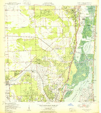
1950 · North Miami
USGS Topo · 1:24,000
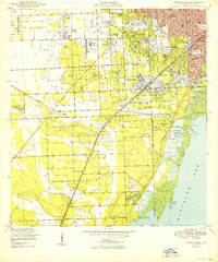
1950 · South Miami
USGS Topo · 1:24,000
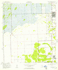
1955 · South Miami NW
USGS Topo · 1:24,000