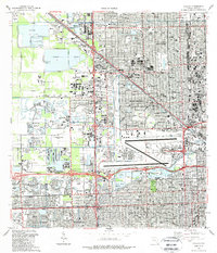
1988 Map of Hialeah
USGS Topo · Published 1988About this map
Hialeah and the surrounding Miami-Dade communities appear here in a period of intense late-20th-century development, defined by a dense network of canals and high-capacity expressways. The landscape is a complex mix of industrial utility and leisure, featuring extensive Quarry operations in Medley alongside the recreational grounds of the Doral Country Club and the Hialeah Race Track. Centrally located, the massive Miami International Airport anchors the region, its runways bordered by the Blue Lagoon and Lake Joanne.
Find a feature on this map
86 named features on this map. Tap any name to fly to it.
Don’t see what you’re looking for? This feature index may not catch every label — zoom into the map to look around manually.
Map Details
Editions of this 1988 Hialeah Map
This is the sole edition of this map. No revisions or reprints were ever made.
Other maps of this area
1947 · North Miami
USGS Topo · 1:24,000
1947 · Key Biscayne
USGS Topo · 1:24,000
1949 · Opalocka
USGS Topo · 1:24,000
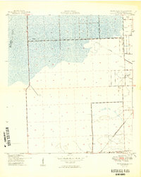
1949 · South Miami NW
USGS Topo · 1:24,000
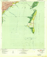
1949 · Key Biscayne
USGS Topo · 1:24,000
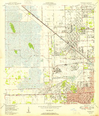
1950 · Hialeah
USGS Topo · 1:24,000
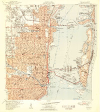
1950 · Miami
USGS Topo · 1:24,000
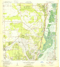
1950 · North Miami
USGS Topo · 1:24,000
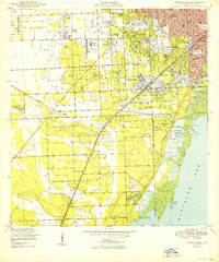
1950 · South Miami
USGS Topo · 1:24,000
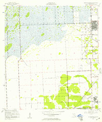
1955 · South Miami NW
USGS Topo · 1:24,000