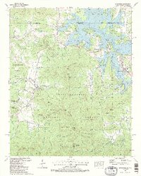
1988 Map of Hiawassee
USGS Topo · Published 1988About this map
Chatuge Lake dominates the northern landscape of this North Georgia mountain region, its intricate shoreline forming numerous coves such as Armstrong Cove and Burrell Cove along the Hiwassee River. The 1980s terrain shows a concentrated valley of educational and industrial landmarks, centered on Young Harris College and the nearby Townsend Mill. Several established communities including Hiawassee and Young Harris serve as anchors for the local population, while smaller settlements like Jacksonville and Red Banks dot the valleys between prominent peaks like Davy Mountain and Shewbird Mountain. The map preserves a network of local genealogy through numerous burial grounds and congregations, from Ledford Chapel Cem in the north to Victory Ch and Woods Grove Memorial Cem. To the south, the deep timberlands of the Chattaheechie National Forest rise toward Wolfpen Ridge and Chimney Top.
Find a feature on this map
132 named features on this map. Tap any name to fly to it.
Don’t see what you’re looking for? This feature index may not catch every label — zoom into the map to look around manually.
Map Details
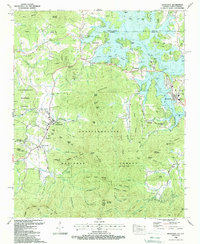
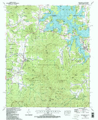
Editions of this 1988 Hiawassee Map
3 editions found
Other maps of this area

1886 · Dahlonega
USGS Topo · 1:125,000

1892 · Dahlonega
USGS Topo · 1:125,000

1896 · Dahlonega
USGS Topo · 1:125,000

1903 · Dahlonega
USGS Topo · 1:125,000

1935 · Coosa Bald
USGS Topo · 1:24,000

1935 · Peachtree
USGS Topo · 1:24,000

1935 · Osborn
USGS Topo · 1:24,000

1935 · Shooting Creek
USGS Topo · 1:24,000

1935 · Wayah Bald
USGS Topo · 1:48,000

1935 · Tray Mountain
USGS Topo · 1:24,000