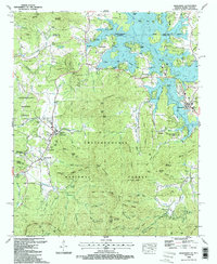
1988 Map of Hiawassee
USGS Topo · Published 1988About this map
Young Harris College and the surrounding valley define the western landscape of this late-century survey, situated just south of the winding North Carolina Georgia border. The town of Hiawassee serves as the eastern hub, positioned along the shores of Chatuge Lake, where numerous boat ramps and coves like McClure Cove and Armstrong Cove illustrate the region's recreational and hydroelectric development. The terrain is marked by significant vertical relief, from the heights of Shewbird Mountain and Swanson Mountain to the deep recesses of Peabottom Cove and Plott Cove.
Find a feature on this map
138 named features on this map. Tap any name to fly to it.
Don’t see what you’re looking for? This feature index may not catch every label — zoom into the map to look around manually.
Map Details
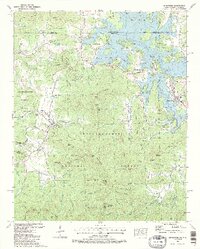
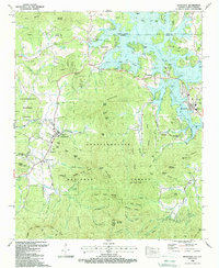
Editions of this 1988 Hiawassee Map
3 editions found
Other maps of this area

1886 · Dahlonega
USGS Topo · 1:125,000

1892 · Dahlonega
USGS Topo · 1:125,000

1896 · Dahlonega
USGS Topo · 1:125,000

1903 · Dahlonega
USGS Topo · 1:125,000

1935 · Coosa Bald
USGS Topo · 1:24,000

1935 · Peachtree
USGS Topo · 1:24,000

1935 · Osborn
USGS Topo · 1:24,000

1935 · Shooting Creek
USGS Topo · 1:24,000

1935 · Wayah Bald
USGS Topo · 1:48,000

1935 · Tray Mountain
USGS Topo · 1:24,000