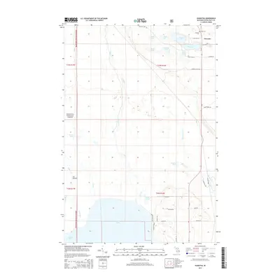
2014 Map of Hiawatha
USGS Topo · Published 2014About this map
The settlement of Hiawatha and the surrounding wilderness of the Hiawatha National Forest define this portion of the Upper Peninsula. Centered on a landscape of glaciated wetlands and numerous small water bodies such as Kepler Lake, Ghost Lake, and Island Lake, the map reveals a complex drainage system where the Indian River flows into the northern reaches of Indian Lake at Langes Bay. A notable geographical feature is The Spreads, where the river network broadens through marshy terrain.
Find a feature on this map
42 named features on this map. Tap any name to fly to it.
Don’t see what you’re looking for? This feature index may not catch every label — zoom into the map to look around manually.
Map Details
Editions of this 2014 Hiawatha Map
This is the sole edition of this map. No revisions or reprints were ever made.
Other maps of this area

1931 · Cooks NE
USGS Topo · 1:31,680

1931 · Steuben SE
USGS Topo · 1:31,680

1931 · Steuben SW
USGS Topo · 1:31,680

1931 · Steuben NE
USGS Topo · 1:31,680

1931 · Cooks NW
USGS Topo · 1:31,680

1931 · Steuben NW
USGS Topo · 1:31,680

1931 · Manistique River NW
USGS Topo · 1:31,680

1931 · Manistique River SW
USGS Topo · 1:31,680

1954 · Escanaba
USGS Topo · 1:250,000

1957 · Escanaba
USGS Topo · 1:250,000