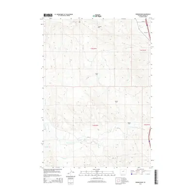
2015 Map of Hibbard Draw
USGS Topo · Published 2015About this map
N Fork Powder River meanders across this High Plains landscape, accompanied by a network of irrigation systems critical to the region's agricultural history. The intricate placement of the Jim Blaine Ditch, Broughton Ditch, and Bob Brock Ditch illustrates the early 21st-century efforts to manage water in this arid Wyoming territory. These waterworks support the surrounding rangeland and lead toward the Round-Rock Reservoir in the southwest quadrant.
Find a feature on this map
20 named features on this map. Tap any name to fly to it.
Don’t see what you’re looking for? This feature index may not catch every label — zoom into the map to look around manually.
Map Details
Editions of this 2015 Hibbard Draw Map
This is the sole edition of this map. No revisions or reprints were ever made.
Other maps of this area

1955 · Arminto
USGS Topo · 1:250,000

1958 · Arminto
USGS Topo · 1:250,000

1961 · Barnum
USGS Topo · 1:62,500

1961 · Kaycee NE
USGS Topo · 1:24,000

1961 · Dry Creek Reservoir
USGS Topo · 1:24,000

1961 · Antelope Draw
USGS Topo · 1:24,000

1961 · Schlict Draw
USGS Topo · 1:24,000

1961 · Hibbard Draw
USGS Topo · 1:24,000

1961 · Kaycee
USGS Topo · 1:24,000

1962 · Arminto
USGS Topo · 1:250,000