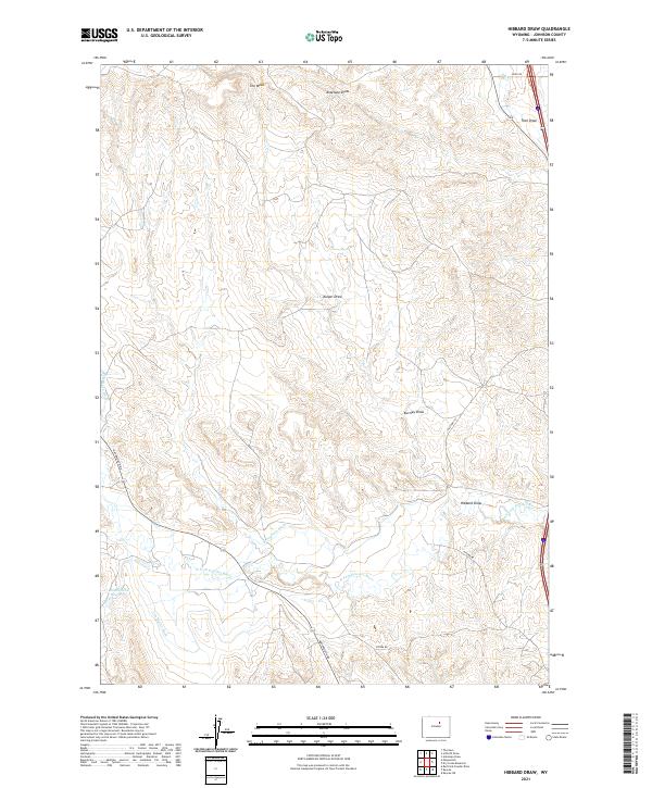
2021 Map of Hibbard Draw
USGS Topo · Published 2021About this map
The N Fork Powder River meanders through this portion of Johnson County, defining a landscape shaped by high plateaus and complex drainage systems. Named features like The Mesa stand above a network of erosion-carved landforms, including Hibbard Draw, Antelope Draw, and Kuiper Draw. This modern survey reveals the persistent importance of water management in this arid region of Wyoming, clearly marking the courses of the Jim Blaine Ditch, Broughton Ditch, and Bob Brock Ditch as they divert resources across the terrain. Small-scale infrastructure such as Round Rock Reservoir and the route of Old Hwy 191 provide points of reference for local historians and genealogists tracing land use and transportation corridors. The map's detail extends to named rural routes like Mayoworth Rd and Reno Rd, illustrating the intersection of historic ranching access and contemporary geography.
Find a feature on this map
20 named features on this map. Tap any name to fly to it.
Don’t see what you’re looking for? This feature index may not catch every label — zoom into the map to look around manually.
Map Details
Editions of this 2021 Hibbard Draw Map
This is the sole edition of this map. No revisions or reprints were ever made.
Other maps of this area

1955 · Arminto
USGS Topo · 1:250,000

1958 · Arminto
USGS Topo · 1:250,000

1961 · Barnum
USGS Topo · 1:62,500

1961 · Kaycee NE
USGS Topo · 1:24,000

1961 · Dry Creek Reservoir
USGS Topo · 1:24,000

1961 · Antelope Draw
USGS Topo · 1:24,000

1961 · Schlict Draw
USGS Topo · 1:24,000

1961 · Hibbard Draw
USGS Topo · 1:24,000

1961 · Kaycee
USGS Topo · 1:24,000

1962 · Arminto
USGS Topo · 1:250,000