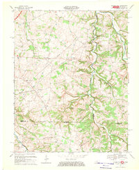
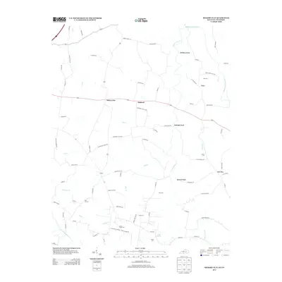
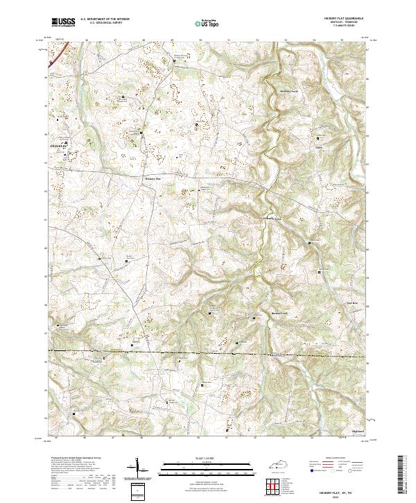
1967 Map of Hickory Flat
USGS Topo · Published 1969About this map
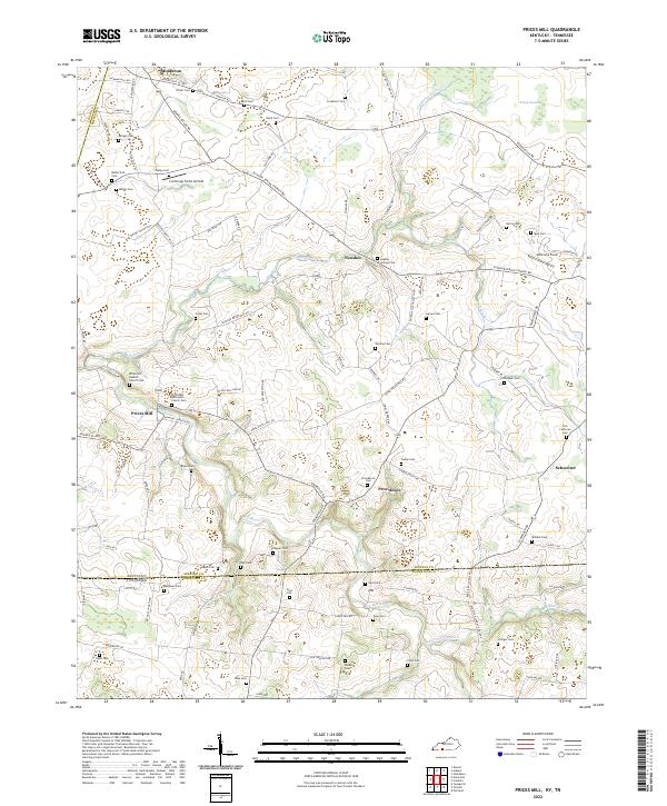
The rolling landscape along the Kentucky Tennessee border comes alive in this late 1960s study of the area where Simpson and Allen counties meet. This rural corridor is defined by numerous family and community landmarks, including the Round Pond Sch and several country churches like Bethany Ch and Loving Chapel. The mapping shows a distributed settlement pattern of small communities such as Hickory Flat, Highland, and Rapids, often centered around a church and cemetery.
Find a feature on this map
35 named features on this map. Tap any name to fly to it.
Don’t see what you’re looking for? This feature index may not catch every label — zoom into the map to look around manually.
Map Details
Editions of this 1967 Hickory Flat Map
This is the sole edition of this map. No revisions or reprints were ever made.
Historical Maps of Portland Through Time
13 maps found
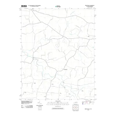
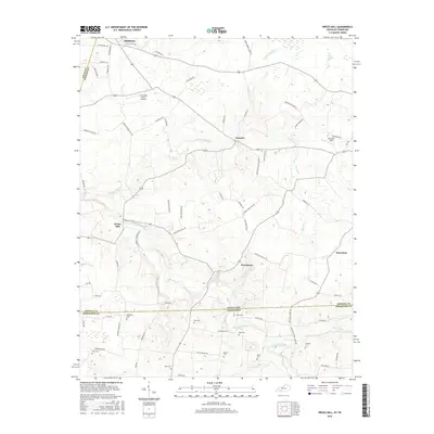
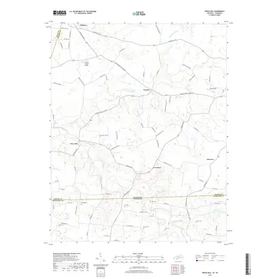
1951 Prices Mill
Simpson County, KY
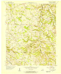
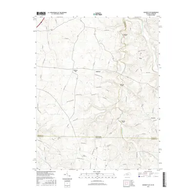
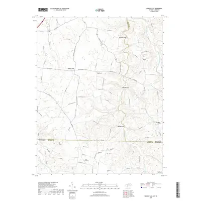
1954 Hickory Flat
Simpson County, KY
1967 Hickory Flat
Simpson County, KY
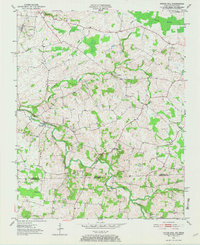
2010 Hickory Flat
Simpson County, KY
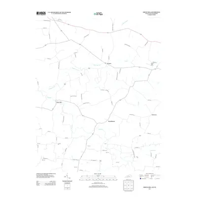
2010 Prices Mill
Simpson County, KY
2013 Hickory Flat
Simpson County, KY
2013 Prices Mill
Simpson County, KY
2016 Hickory Flat
Simpson County, KY
2016 Prices Mill
Simpson County, KY
2019 Hickory Flat
Simpson County, KY
2019 Prices Mill
Simpson County, KY
2022 Hickory Flat
Simpson County, KY
2022 Prices Mill
Simpson County, KY