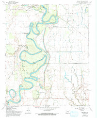
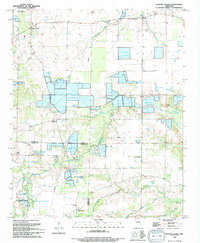
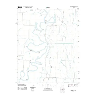
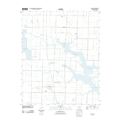
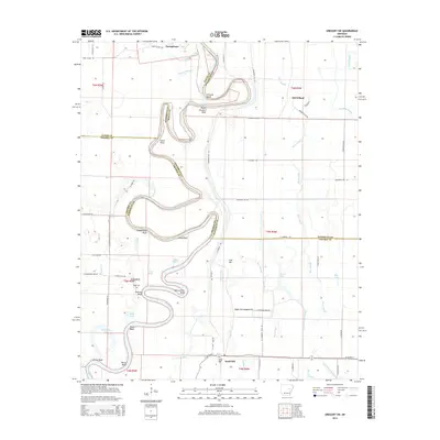
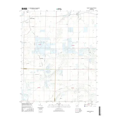
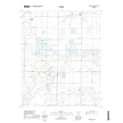
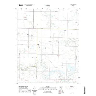
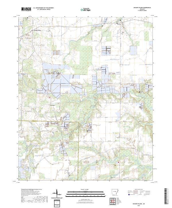
1964 Map of Hickory Plains
USGS Topo · Published 1965About this map
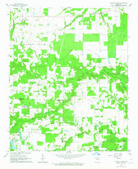
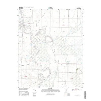
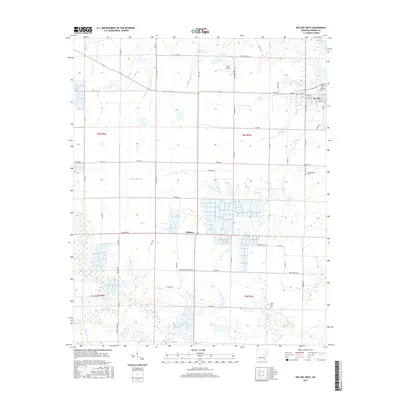
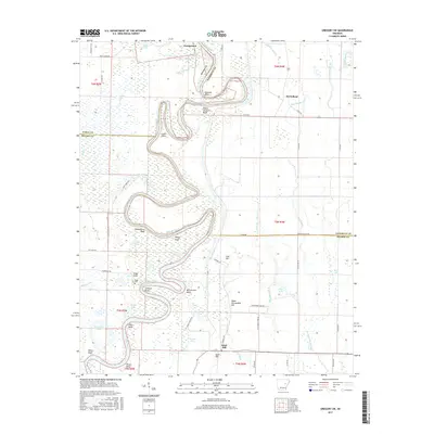
The community of Hickory Plains serves as the focal point for this mid-century survey of the Arkansas interior, situated along the upper reaches of Hickory Plains Creek. The landscape is defined by its drainage patterns, with numerous named waterways such as Lick Creek, Bane Creek, and Dunn Creek flowing into the prominent Wattensaw Bayou. These water sources supported a rural economy of small-scale agriculture and livestock, evidenced by the fine network of field and fence lines recorded across the township.
Find a feature on this map
32 named features on this map. Tap any name to fly to it.
Don’t see what you’re looking for? This feature index may not catch every label — zoom into the map to look around manually.
Map Details
Editions of this 1964 Hickory Plains Map
This is the sole edition of this map. No revisions or reprints were ever made.
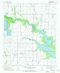
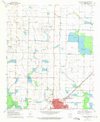
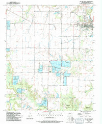
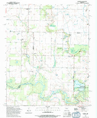
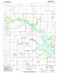
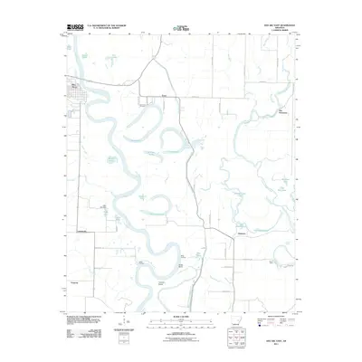
Historical Maps of Hickory Plains Through Time
46 maps found
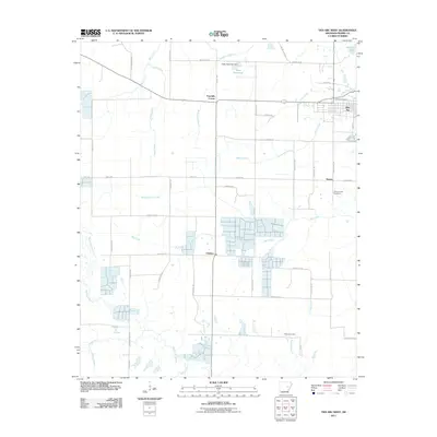
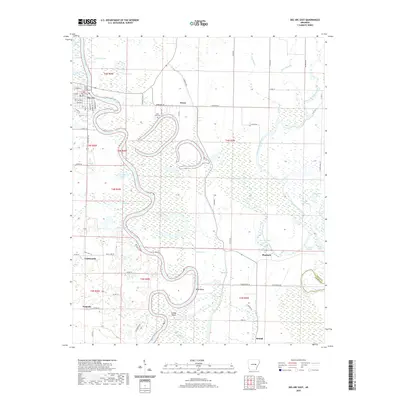
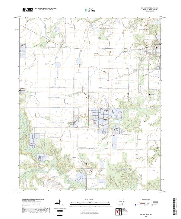
1964 Des Arc West
Prairie County, AR
1964 Hickory Plains
Prairie County, AR
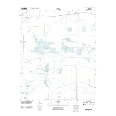
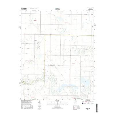
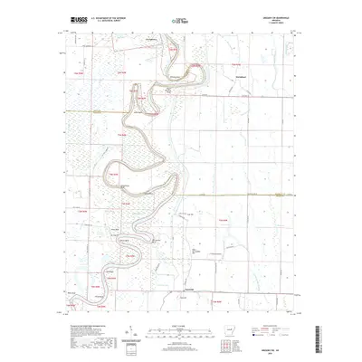
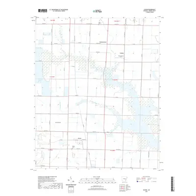
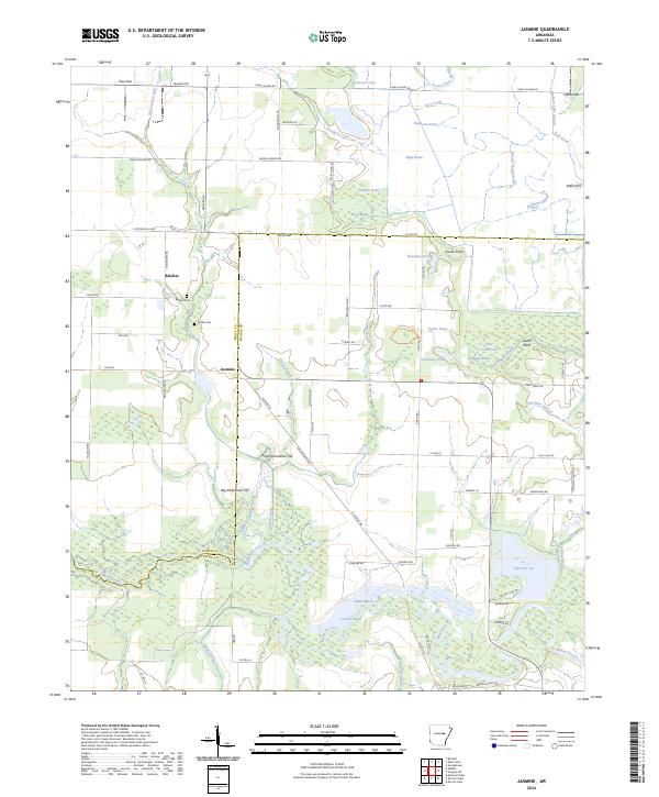
1964 Jasmine
Prairie County, AR
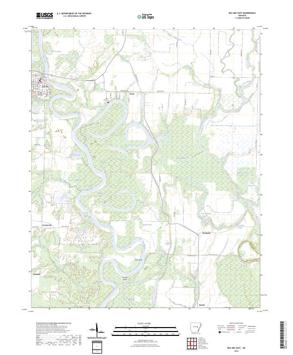
1968 Des Arc East
Prairie County, AR
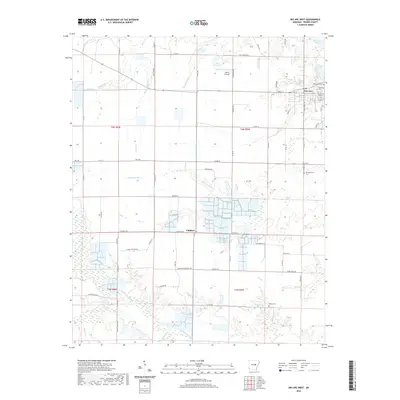
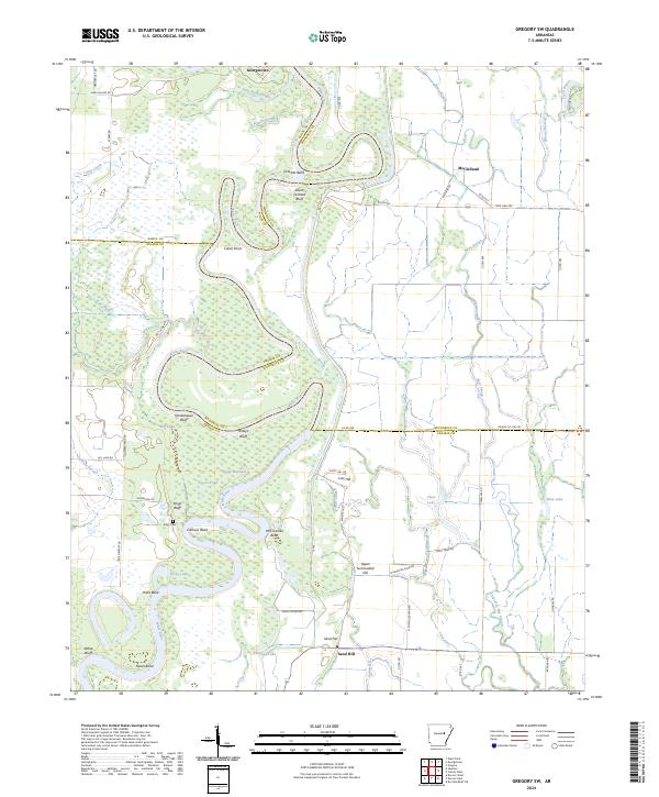
1968 Gregory SW
Prairie County, AR
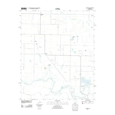
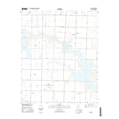
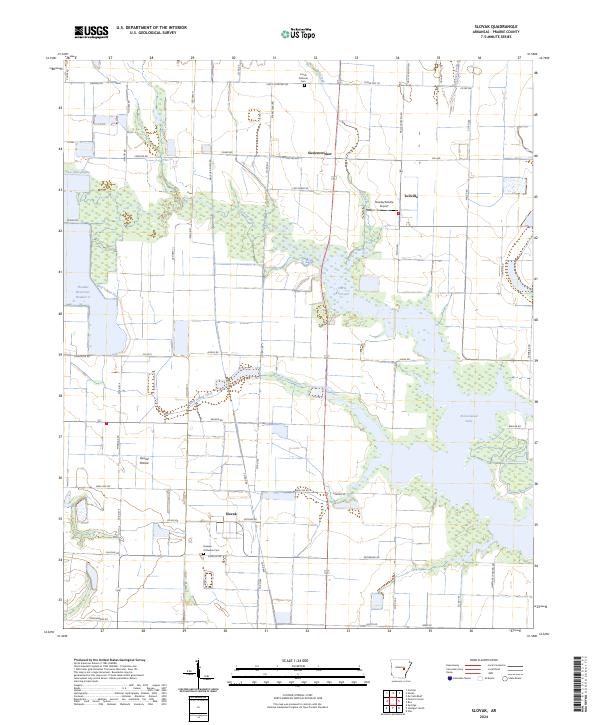
1969 Slovak
Prairie County, AR
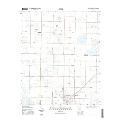
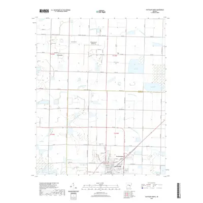
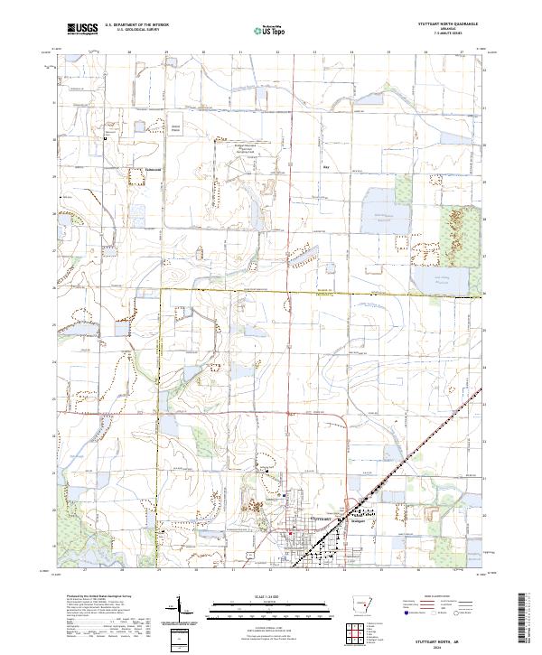
1969 Stuttgart North
Prairie County, AR
1994 Des Arc West
Prairie County, AR
1994 Hickory Plains
Prairie County, AR
1994 Jasmine
Prairie County, AR
1994 Slovak
Prairie County, AR
2011 Des Arc East
Prairie County, AR
2011 Des Arc West
Prairie County, AR
2011 Gregory SW
Prairie County, AR
2011 Hickory Plains
Prairie County, AR
2011 Jasmine
Prairie County, AR
2011 Slovak
Prairie County, AR
2011 Stuttgart North
Prairie County, AR
2014 Des Arc East
Prairie County, AR
2014 Des Arc West
Prairie County, AR
2014 Gregory SW
Prairie County, AR
2014 Hickory Plains
Prairie County, AR
2014 Jasmine
Prairie County, AR
2014 Slovak
Prairie County, AR
2014 Stuttgart North
Prairie County, AR
2017 Des Arc East
Prairie County, AR
2017 Des Arc West
Prairie County, AR
2017 Gregory SW
Prairie County, AR
2017 Hickory Plains
Prairie County, AR
2017 Jasmine
Prairie County, AR
2017 Slovak
Prairie County, AR
2017 Stuttgart North
Prairie County, AR
2020 Des Arc East
Prairie County, AR
2020 Des Arc West
Prairie County, AR
2020 Gregory SW
Prairie County, AR
2020 Hickory Plains
Prairie County, AR
2020 Jasmine
Prairie County, AR
2020 Slovak
Prairie County, AR
2020 Stuttgart North
Prairie County, AR
2024 Des Arc East
Prairie County, AR
2024 Des Arc West
Prairie County, AR
2024 Gregory SW
Prairie County, AR
2024 Hickory Plains
Prairie County, AR
2024 Jasmine
Prairie County, AR
2024 Slovak
Prairie County, AR
2024 Stuttgart North
Prairie County, AR