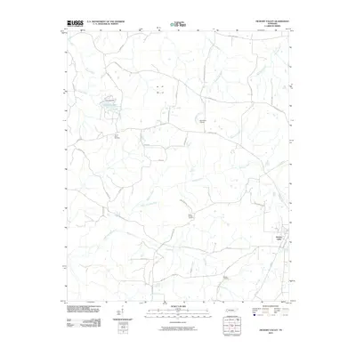
2010 Map of Hickory Valley
USGS Topo · Published 2010About this map
The settlement of Hickory Valley serves as the focal point for this Hardeman County landscape, situated where the lowlands meet the drainage systems of several significant waterways. This 2010 survey illustrates a region defined by its water-rich geography, with the Loosahatchie River and North Fork Wolf River carving through the terrain. For genealogists, the map preserves the locations of rural burying grounds, including Mount Olive Cemetery, Mount Comfort Cemetery, and Woods Cemetery, which often serve as the final physical markers of earlier generations in these farming communities.
Find a feature on this map
43 named features on this map. Tap any name to fly to it.
Don’t see what you’re looking for? This feature index may not catch every label — zoom into the map to look around manually.
Map Details
Editions of this 2010 Hickory Valley Map
This is the sole edition of this map. No revisions or reprints were ever made.
Other maps of this area

1949 · Moscow
USGS Topo · 1:62,500

1950 · Middleburg
USGS Topo · 1:24,000

1950 · Grand Junction
USGS Topo · 1:24,000

1951 · Middleburg
USGS Topo · 1:24,000

1951 · Hickory Valley
USGS Topo · 1:24,000

1951 · Grand Junction
USGS Topo · 1:24,000

1952 · Saulsbury
USGS Topo · 1:24,000

1952 · Laconia
USGS Topo · 1:24,000

1952 · Stanton
USGS Topo · 1:62,500

1956 · Blytheville
USGS Topo · 1:250,000