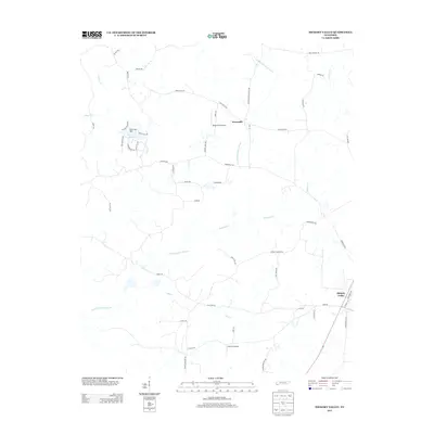
2013 Map of Hickory Valley
USGS Topo · Published 2013About this map
Hickory Valley and the small settlement of Newcastle anchor this West Tennessee landscape, where the drainage systems of the North Fork Wolf River and the Loosahatchie River Canal shape the local geography. The area's aviation and recreation interests are represented by two private airfields, Wings Field Airport and Flying D Airport, along with the Terra Alta Lake reservoir held by the Terra Alta Dam. The map reveals a transition between agricultural land and growing residential corridors, traced through a network of rural roads such as New Castle Rd and Somerville Rd. Smaller waterways like McKinnie Cr, May Cr, and Kings Cr wind through the terrain, illustrating the hydrologic complexity of the region. This survey documents the intersection of rural heritage and modern infrastructure in Hardeman County just after the turn of the twenty-first century.
Find a feature on this map
55 named features on this map. Tap any name to fly to it.
Don’t see what you’re looking for? This feature index may not catch every label — zoom into the map to look around manually.
Map Details
Editions of this 2013 Hickory Valley Map
This is the sole edition of this map. No revisions or reprints were ever made.
Other maps of this area
1949 · Moscow
USGS Topo · 1:62,500
1950 · Middleburg
USGS Topo · 1:24,000
1950 · Grand Junction
USGS Topo · 1:24,000
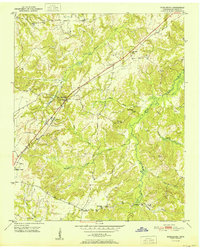
1951 · Middleburg
USGS Topo · 1:24,000
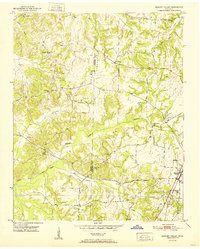
1951 · Hickory Valley
USGS Topo · 1:24,000
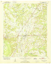
1951 · Grand Junction
USGS Topo · 1:24,000
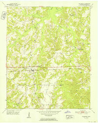
1952 · Saulsbury
USGS Topo · 1:24,000
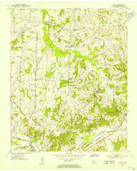
1952 · Laconia
USGS Topo · 1:24,000
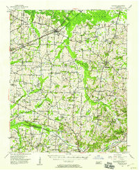
1952 · Stanton
USGS Topo · 1:62,500
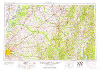
1956 · Blytheville
USGS Topo · 1:250,000