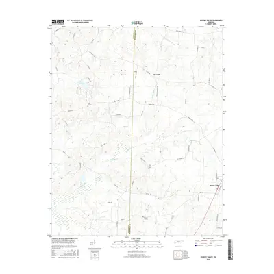
2016 Map of Hickory Valley
USGS Topo · Published 2016About this map
Hickory Valley and Newcastle anchor this West Tennessee landscape, where the terrain is defined by the headwaters of the N Fork Wolf River and the engineered Loosahatchie River Canal. The geography is marked by several rural burial grounds including Mount Olive Cem, Mount Comfort Cem, and Woods Cem, which serve as vital touchstones for family historians. These sites are connected by a network of local routes like Somerville Rd and Ames Rd, reflecting the region's agricultural and transit roots. Private aviation landmarks like the Flying D Airport and Wings Field appear alongside natural water features such as Terra Alta Lake and McKinie Cr. The map also traces the jurisdictional line between Fayette Co and Hardeman Co, capturing the rural character of the area in the mid-2010s.
Find a feature on this map
54 named features on this map. Tap any name to fly to it.
Don’t see what you’re looking for? This feature index may not catch every label — zoom into the map to look around manually.
Map Details
Editions of this 2016 Hickory Valley Map
This is the sole edition of this map. No revisions or reprints were ever made.
Other maps of this area

1949 · Moscow
USGS Topo · 1:62,500

1950 · Middleburg
USGS Topo · 1:24,000

1950 · Grand Junction
USGS Topo · 1:24,000

1951 · Middleburg
USGS Topo · 1:24,000

1951 · Hickory Valley
USGS Topo · 1:24,000

1951 · Grand Junction
USGS Topo · 1:24,000

1952 · Saulsbury
USGS Topo · 1:24,000

1952 · Laconia
USGS Topo · 1:24,000

1952 · Stanton
USGS Topo · 1:62,500

1956 · Blytheville
USGS Topo · 1:250,000