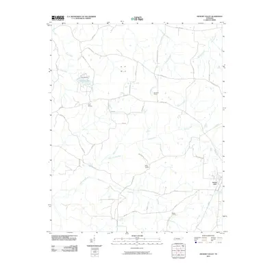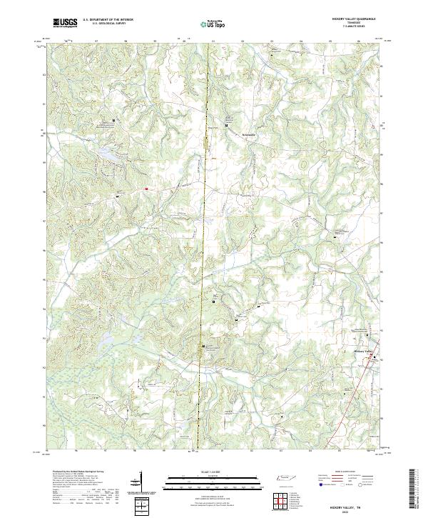
2022 Map of Hickory Valley
USGS Topo · Published 2022About this map
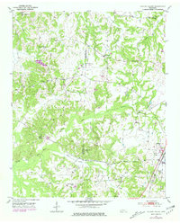
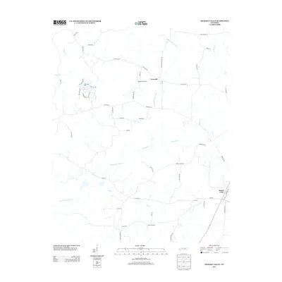
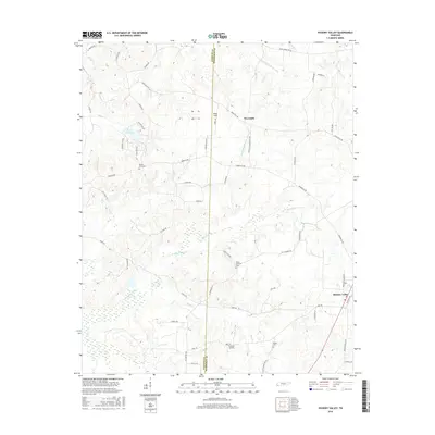
The Fayette and Hardeman County line divides this rural Tennessee landscape, where small communities like Hickory Valley and Newcastle anchor a network of country roads. The area is characterized by numerous family and congregational burial grounds, including the Morrow Grove Christian Methodist Episcopal Church and Cemetery and the Harris Cemetery Number 3. These sites, along with others like the Mask Family Cemetery, offer significant points of interest for those tracing local family histories in this corner of the state.
Find a feature on this map
69 named features on this map. Tap any name to fly to it.
Don’t see what you’re looking for? This feature index may not catch every label — zoom into the map to look around manually.
Map Details
Editions of this 2022 Hickory Valley Map
This is the sole edition of this map. No revisions or reprints were ever made.
Historical Maps of Hickory Valley Through Time
6 maps found